- Usage in publication:
-
- Flades clay
- Modifications:
-
- Original reference
- AAPG geologic province:
-
- Cincinnati arch
Summary:
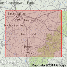
Pg. 10, 18, 60; also 1905, Kentucky Geol. Survey Bull., no. 6, p. 145. Flades clay. Name to include Waco limestone and Estill clay [members of Alger formation] where Waco limestone cannot be distinguished from overlying Estill clay but where thick basal layer of Waco limestone can be recognized. Age is Silurian (Niagaran).
Named from Flades Creek, east of Crab Orchard, Lincoln Co., east-central KY.
Source: US geologic names lexicon (USGS Bull. 896, p. 737).
For more information, please contact Nancy Stamm, Geologic Names Committee Secretary.
Asterisk (*) indicates published by U.S. Geological Survey authors.
"No current usage" (†) implies that a name has been abandoned or has fallen into disuse. Former usage and, if known, replacement name given in parentheses ( ).
Slash (/) indicates name conflicts with nomenclatural guidelines (CSN, 1933; ACSN, 1961, 1970; NACSN, 1983, 2005, 2021). May be explained within brackets ([ ]).

