The National Geologic Map Database is migrating to a new infrastructure. We apologize for any service disruptions during this process.
|
|---|


- Usage in publication:
-
- Fitz Creek Siltstone*
- Modifications:
-
- Named
- Dominant lithology:
-
- Siltstone
- Limestone
- Sandstone
- Conglomerate
- AAPG geologic province:
-
- Alaska Southwestern region
Summary:
Pg. C30-C34. Fitz Creek Siltstone, 3rd from lowermost formation (of 6) of Tuxedni Group. Name proposed to replace term siltstone member of former Tuxedni Formation of older reports. Composed mainly of massive bluish-gray arenaceous siltstone that commonly weathers rusty brown and contains many small fossiliferous limestone concretions, interbedded fine-grained sandstone and, locally, conglomerate. Thickness 1,090 feet at type locality. Conformably overlies Gaikema Sandstone; conformably underlies Cynthia Falls Sandstone (both of Tuxedni Group). Age is Middle Jurassic (Bajocian).
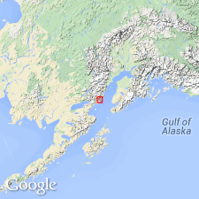
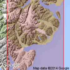
Type locality: on Tonnie Creek, a tributary of Fitz Creek, starting 7,000 ft S. 55 deg. E. of Tonnie Peak and continuing upstream for 1,400 ft. Named from Fitz Creek, a principal stream on Iniskin Peninsula, Cook Inlet region, southeastern AK.
Source: US geologic names lexicon (USGS Bull. 1350, p. 259); supplemental information from GNU records (USGS DDS-6; Menlo GNULEX).
- Usage in publication:
-
- Fitz Creek Siltstone*
- Modifications:
-
- Areal extent
- AAPG geologic province:
-
- Alaska Southwestern region
Summary:
Pg. 29-31, pls. Fitz Creek Siltstone. On Iniskin Peninsula, outcrops [on] Tonnie syncline. These belts, 1,000-1,500 feet wide, lie between two prominent hogback ridges on lower slopes of mountain mass formed by Tonnie syncline. The hogback ridges are formed by sandstone and conglomerate of the underlying Gaikema and overlying Cynthia Falls Sandstones. Thickness 650 to 1,280 feet.
Source: US geologic names lexicon (USGS Bull. 1350, p. 259).
For more information, please contact Nancy Stamm, Geologic Names Committee Secretary.
Asterisk (*) indicates published by U.S. Geological Survey authors.
"No current usage" (†) implies that a name has been abandoned or has fallen into disuse. Former usage and, if known, replacement name given in parentheses ( ).
Slash (/) indicates name conflicts with nomenclatural guidelines (CSN, 1933; ACSN, 1961, 1970; NACSN, 1983, 2005, 2021). May be explained within brackets ([ ]).