

- Usage in publication:
-
- Fillmore limestone
- Modifications:
-
- Named
- Dominant lithology:
-
- Conglomerate
- Siltstone
- Limestone
- Shale
- AAPG geologic province:
-
- Great Basin province
Summary:
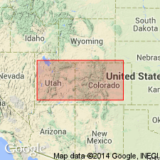
Named as one of six formations of the Pogonip group for town of Fillmore, Millard Co., UT in Great Basin province. Type locality is a composite of a section 1/2 mi north from sec 1, T22S, R14W, NW1/4 sec 8, T23S, R14W, and secs 5 and 6, T23S, R14W called Ibex sections D, G, and H. Is characterized by conglomerate, limy siltstone, muddy limestone, and limy shale of shallow water origin. The predominant color is medium gray. Conglomerate is coarse grained and has some subround pebbles. Is older than Wah Wah limestone (new) of Pogonip; is younger than House limestone (new) of Pogonip. Is very fossiliferous; assigned to the Ordovician.
Source: GNU records (USGS DDS-6; Denver GNULEX).
For more information, please contact Nancy Stamm, Geologic Names Committee Secretary.
Asterisk (*) indicates published by U.S. Geological Survey authors.
"No current usage" (†) implies that a name has been abandoned or has fallen into disuse. Former usage and, if known, replacement name given in parentheses ( ).
Slash (/) indicates name conflicts with nomenclatural guidelines (CSN, 1933; ACSN, 1961, 1970; NACSN, 1983, 2005, 2021). May be explained within brackets ([ ]).