The National Geologic Map Database is migrating to a new infrastructure. We apologize for any service disruptions during this process.
|
|---|


- Usage in publication:
-
- Ferron sandstone member*
- Modifications:
-
- Named
- Dominant lithology:
-
- Sandstone
- AAPG geologic province:
-
- Paradox basin
Summary:
Pg. 128.
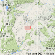
Named as a member of Mancos shale for beds in and south of Ferron in Castle Valley, [Emery Co], UT in the Paradox basin. No type locality designated. Geologic map. Stratigraphic chart. Occurs about 400 ft above base of Mancos. Is a resistant sandstone with fossiliferous concretions [description very generalized]. Is 50-100 ft thick. Is about 2500 ft below top of Mancos and 400 ft above base of Mancos. Overlies and underlies unnamed drab sandy shale of the Mancos. Cretaceous age.
Source: GNU records (USGS DDS-6; Denver GNULEX).
- Usage in publication:
-
- Ferron Sandstone Member*
- Modifications:
-
- Areal extent
- AAPG geologic province:
-
- Paradox basin
Summary:
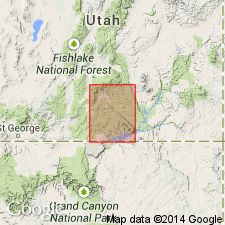
Is one of five members of Upper Cretaceous Mancos Shale mapped only in northeast part of quad, in the Henry basin, east of Waterpocket fold, Garfield Co, UT in the Paradox basin. Mapped limit represents the southwest limit for the member. Is 200 to 350 ft thick. Overlies Tununk Member; underlies Blue Gate Member (term "Shale" removed from both member names) of Mancos. Is equivalent to lower part of Straight Cliffs Formation of Kaiparowits Plateau to south in quad.
Source: GNU records (USGS DDS-6; Denver GNULEX).

- Usage in publication:
-
- Ferron Sandstone Member*
- Modifications:
-
- Age modified
- AAPG geologic province:
-
- Paradox basin
Summary:
Is a member of Mancos Shale assigned to the middle Turonian in the Paradox basin.
Source: GNU records (USGS DDS-6; Denver GNULEX).
- Usage in publication:
-
- Ferron Sandstone Member*
- Modifications:
-
- Areal extent
- AAPG geologic province:
-
- Paradox basin
- Uinta basin
Summary:
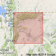
Recognized as a member of Mancos Shale southwest of Price in Emery Co, UT, Paradox basin. Extends east from Farnham dome, Carbon Co, UT, Uinta basin. Grades into siltstone about 15 mi southeast of the dome. Grades in upper part of Tununk. Ranges between 0-90 ft thick in report area. Thickens west by facies change and depositional thickening to almost 500 ft. Is underlain by and tongues east into upper part of Tununk Member of Mancos. Is overlain by main body of Mancos west of Farnham dome and by Juana Lopez Member east and southeast of the dome. Is overlain by Blue Gate Member of Mancos on west side of San Rafael Swell. Consists mostly of one sandstone, very fine grained, partly bioturbated, hummocky, cross-bedded (lower half), fossiliferous with large brown-weathering concretions (near top) about 50 ft thick on west side of dome. An upper sandstone, fine to very fine grained, thick-bedded to massive, burrowed or bioturbated, is separated from a lower sandstone by silty shale or siltstone to southeast of dome. Mollusks of late middle Turonian age. Stratigraphic chart. Cross sections.
Source: GNU records (USGS DDS-6; Denver GNULEX).
For more information, please contact Nancy Stamm, Geologic Names Committee Secretary.
Asterisk (*) indicates published by U.S. Geological Survey authors.
"No current usage" (†) implies that a name has been abandoned or has fallen into disuse. Former usage and, if known, replacement name given in parentheses ( ).
Slash (/) indicates name conflicts with nomenclatural guidelines (CSN, 1933; ACSN, 1961, 1970; NACSN, 1983, 2005, 2021). May be explained within brackets ([ ]).