

- Usage in publication:
-
- Ferdinand limestone
- Modifications:
-
- Original reference
- Dominant lithology:
-
- Limestone
- Chert
- AAPG geologic province:
-
- Illinois basin
Summary:
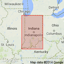
Pg. 87 (fig. 1), 88, 89. Ferdinand limestone of Mansfield group. Consists of black shiny opaque chert with casts of productids and dark-blue gray argillaceous dull limestone. Thickness about 2 feet. Lies about 20 feet below top of group; separated from underlying Fulda limestone (new) by about 15 feet of shale, underclay and coal. Age is Pennsylvanian (Pottsville).
Well exposed northeast of Ferdinand, in T. 3 S., R. 4 W., and west of Ferdinand State Forest, Dubois Co., southwestern IN.
Source: US geologic names lexicon (USGS Bull. 1200, p. 1336-1337).
- Usage in publication:
-
- Ferdinand limestone
- Modifications:
-
- Revised
- AAPG geologic province:
-
- Illinois basin
Summary:
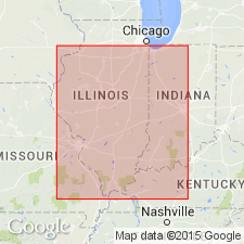
Pg. 16 (fig. 2), 19. Included in Ti Valley series (new).
Source: US geologic names lexicon (USGS Bull. 1200, p. 1336-1337).
For more information, please contact Nancy Stamm, Geologic Names Committee Secretary.
Asterisk (*) indicates published by U.S. Geological Survey authors.
"No current usage" (†) implies that a name has been abandoned or has fallen into disuse. Former usage and, if known, replacement name given in parentheses ( ).
Slash (/) indicates name conflicts with nomenclatural guidelines (CSN, 1933; ACSN, 1961, 1970; NACSN, 1983, 2005, 2021). May be explained within brackets ([ ]).