

- Usage in publication:
-
- Ferdig shale member*
- Modifications:
-
- Named
- Dominant lithology:
-
- Shale
- Sandstone
- Dolomite
- Bentonite
- AAPG geologic province:
-
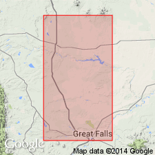
- Sweetgrass arch
Summary:
Named as a member of Marias River shale (new) of Colorado group (rank raised) for the PO of Ferdig, southeast corner sec 30, T35N, R1W, Toole Co, MT on the Sweetgrass arch. Type section is a composite of exposures 3-5 mi northwest of Ferdig (sec 36, T34N, R1W) and exposures 8 mi southeast of Ferdig (secs 1, 12, 13, T35N, R2W). Is 225 ft thick at type. Consists of 1) dark gray shale containing thin, lenticular, maroon-weathering nodular layers of dark gray syngenetic dolostone and a few beds of bentonite, at base; 2) micromicaceous, silty bentonitic shale that has gray- and yellow-weathering calcareous concretionary beds, secondary gypsiferous concretions, sandy shale, and thin persistent layers of sandstone, in the middle; and 3) dark gray shale or sandy siltstone with thin layers of gray concretionary limestone, at top. Overlies Cone calcareous member (new) of Marias River unconformably. Underlies Kevin shale member (new) of Marias River disconformably. Correlates with part of Carlile shale. Is of Turonian, Late Cretaceous age. Correlation chart.
Source: GNU records (USGS DDS-6; Denver GNULEX).
- Usage in publication:
-
- Ferdig Shale Member*
- Modifications:
-
- Overview
- AAPG geologic province:
-
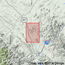
- Montana folded belt
Summary:
Is mapped as member of Marias River Shale in eastern Lewis and Clark Co, MT in Montana folded belt province. Overlies Cone Calcareous Member of Marias River; underlies Kevin Shale Member or an unnamed sandstone member below the Kevin. Is locally mapped with the unnamed sandstone member. Composed of--upper part, thin beds of gray and olive-gray iron-stained siltstone and very fine grained sandstone with small nodular limestone concretions; siltstones and sandstones characteristically break into small rusty chips at surface; lower part, gray and olive-gray siltstone and gray to dark-gray waxy shale in thin beds; locally a thin bed of light-bluish-gray siltstone near base; nonfossiliferous; about 160 ft thick. Age is Late Cretaceous.
Source: GNU records (USGS DDS-6; Denver GNULEX).
- Usage in publication:
-
- Ferdig Member*
- Modifications:
-
- Redescribed
- Overview
- Dominant lithology:
-
- Shale
- Limestone
- AAPG geologic province:
-
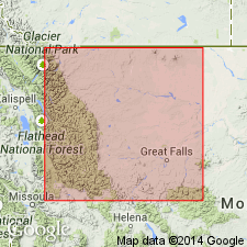
- Sweetgrass arch
Summary:
Redescribed--term shale removed from name. Designated Ferdig Member, third from base of four members of Marias River Shale of Colorado Group. Overlies Cone Member and underlies Kevin Member, both of Marias River. Is 68.6 m thick at type. Thickens eastward to West Utopia oil and gas field to 70 m. Makes a concentric ring around outcrops of Bootlegger, Cone, and Floweree Members on the Kevin-Sunburst dome. Exposed in Sweetgrass Hills and Disturbed belt. Measurement of type section described in detail. Consists mostly of dark-gray, generally noncalcareous shale, olive-gray to brown-black, sometimes concretionary, sometimes ferruginous limestone, and lesser amounts of light-gray, very fine to fine-grained sandstone, dark-olive-gray, noncalcareous, sometimes finely micaceous siltstone, dark-gray concretionary dolostone, and bentonite. Three faunal zones known from Ferdig (PRIONOCYCLUS HYATTI, SCAPHITES NIGRICOLLENSIS, and SCAPHITES CORVENSIS). A possible fourth zone is COLLIGNONICERAS WOOLLGARI. Of late Turonian, Late Cretaceous age. [PRIONOCYCLUS HYATTI now considered to be upper middle Turonian (Obradovich, 199_).]
Source: GNU records (USGS DDS-6; Denver GNULEX).
For more information, please contact Nancy Stamm, Geologic Names Committee Secretary.
Asterisk (*) indicates published by U.S. Geological Survey authors.
"No current usage" (†) implies that a name has been abandoned or has fallen into disuse. Former usage and, if known, replacement name given in parentheses ( ).
Slash (/) indicates name conflicts with nomenclatural guidelines (CSN, 1933; ACSN, 1961, 1970; NACSN, 1983, 2005, 2021). May be explained within brackets ([ ]).