The National Geologic Map Database is migrating to a new infrastructure. We apologize for any service disruptions during this process.
|
|---|


- Usage in publication:
-
- Felchville Gneiss*
- Modifications:
-
- Original reference
- Dominant lithology:
-
- Gneiss
- AAPG geologic province:
-
- New England province
Summary:
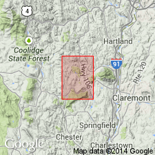
Pg. 4, 6, 8, 10, 16, map. Felchville Gneiss of Mount Holly Complex. Massive, light-gray to whitish-gray-weathering, medium- to medium coarse-grained magnetite-biotite-microcline-quartz-plagioclase gneiss. Large conspicuous augen of well-twinned plagioclase as much as 1 cm in diameter are common. Overall unit is granodiorite to trondhjemite. Unit intrudes all units of the Mount Holly Complex, including the Cavendish Formation. U-Pb zircon data suggest an age of 1,379 +/-23 Ma (J.N. Aleinikoff, USGS, written commun., 1995; Ratcliffe and others, 1997, 89th New England Intercoll. Geol. Conf.).
Source: Publication.
For more information, please contact Nancy Stamm, Geologic Names Committee Secretary.
Asterisk (*) indicates published by U.S. Geological Survey authors.
"No current usage" (†) implies that a name has been abandoned or has fallen into disuse. Former usage and, if known, replacement name given in parentheses ( ).
Slash (/) indicates name conflicts with nomenclatural guidelines (CSN, 1933; ACSN, 1961, 1970; NACSN, 1983, 2005, 2021). May be explained within brackets ([ ]).