- Usage in publication:
-
- Farrington igneous complex
- Modifications:
-
- First used
- AAPG geologic province:
-
- Piedmont-Blue Ridge province
Summary:
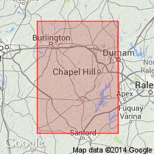
Farrington igneous complex primarily composed of two adjacent contemporaneous intrusions, with total surface area of about 55 sq mi. Complex was emplaced along regional strike of metasedimentary and metavolcanic rocks of the North Carolina slate belt. No age given.
Source: GNU records (USGS DDS-6; Reston GNULEX).

- Usage in publication:
-
- Farrington igneous complex
- Modifications:
-
- Overview
- Dominant lithology:
-
- Diorite
- Granodiorite
- Quartz monzonite
- AAPG geologic province:
-
- Piedmont-Blue Ridge province
Summary:
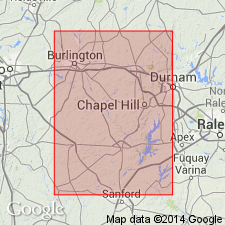
Farrington complex is made up of two adjacent stocks. Western stock has dioritic margins and a granodioritic center. Eastern stock has generally porphyritic quartz monzonitic margins and an equigranular granodioritic central zone. No age given.
Source: GNU records (USGS DDS-6; Reston GNULEX).

- Usage in publication:
-
- Farrington pluton
- Modifications:
-
- Geochronologic dating
- AAPG geologic province:
-
- Piedmont-Blue Ridge province
Summary:
Rb-Sr ages for Farrington pluton from Fullagar (1971; 1982). Eastern pluton dated 519+/-38 m.y. Western pluton dated 568+/-29 m.y.
Source: GNU records (USGS DDS-6; Reston GNULEX).

- Usage in publication:
-
- Farrington pluton
- Modifications:
-
- Overview
- AAPG geologic province:
-
- Piedmont-Blue Ridge province
Summary:
Unit referred to as Farrington pluton on State map. Late Proterozoic to Late Cambrian age based on ages 650 to 520 Ma.
Source: GNU records (USGS DDS-6; Reston GNULEX).
For more information, please contact Nancy Stamm, Geologic Names Committee Secretary.
Asterisk (*) indicates published by U.S. Geological Survey authors.
"No current usage" (†) implies that a name has been abandoned or has fallen into disuse. Former usage and, if known, replacement name given in parentheses ( ).
Slash (/) indicates name conflicts with nomenclatural guidelines (CSN, 1933; ACSN, 1961, 1970; NACSN, 1983, 2005, 2021). May be explained within brackets ([ ]).

