- Usage in publication:
-
- Farmington Canyon complex
- Modifications:
-
- Areal extent
- AAPG geologic province:
-
- Northern Rocky Mountain region
Summary:
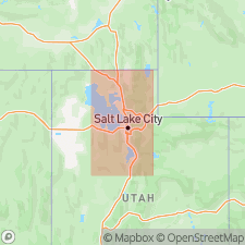
Pg. 1282, pl. 1. Rocks of Farmington Canyon complex crop out in mouth of Little Cottonwood Canyon. [Age is Precambrian.]
Source: US geologic names lexicon (USGS Bull. 1200, p. 1326).
- Usage in publication:
-
- Farmington Canyon complex
- Modifications:
-
- Areal extent
- AAPG geologic province:
-
- Northern Rocky Mountain region
Eardley, A.J., and Hatch, R.A., 1940, Proterozoic(?) rocks in Utah: Geological Society of America Bulletin, v. 51, no. 6, p. 795-843.
Summary:
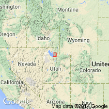
Pg. 810 (fig. 3), 815. Farmington Canyon complex. In Willard Canyon [between Ogden and Brigham City, Utah] underlies Tintic quartzite. [Age is Precambrian.]
Source: US geologic names lexicon (USGS Bull. 1200, p. 1326).
- Usage in publication:
-
- Farmington Canyon complex
- Modifications:
-
- Principal reference
- Dominant lithology:
-
- Gneiss
- Schist
- Granite
- AAPG geologic province:
-
- Northern Rocky Mountain region
Summary:
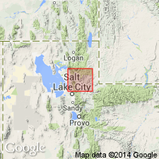
Pg. 59 (fig. 3), 61-72. Farmington Canyon complex. Name given to large group of crystalline rocks in north-central Utah area. Rocks are distinctly stratified throughout region. Contains metamorphosed mafic rocks, injection gneisses, silicic igneous rocks, and metamorphosed sedimentary rocks. Type locality stated. [Age is Precambrian.]
Type locality: Farmington Canyon and Bountiful Peak, [east of Great Salt Lake, in T. 3 N., R. 1 E., Bountiful Peak and Peterson 7.5-min quadrangles, Wasatch National Forest], Davis Co., north-central UT.
[Additional locality information from USGS historical topographic map collection TopoView, accessed Leap Year Day February 29, 2016.]
Source: US geologic names lexicon (USGS Bull. 1200, p. 1326).
- Usage in publication:
-
- Farmington Canyon complex
- Modifications:
-
- Areal extent
- AAPG geologic province:
-
- Northern Rocky Mountain region
Summary:
Pg. 823, 827. Farmington Canyon complex. Thickness about 10,000 feet. Underlies an ancient sequence which is probably Upper Proterozoic and in part Lower Cambrian.
Source: US geologic names lexicon (USGS Bull. 1200, p. 1326).
- Usage in publication:
-
- Farmington Canyon Complex*
- Modifications:
-
- Areal extent
- AAPG geologic province:
-
- Northern Rocky Mountain region
Summary:
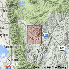
A Precambrian gneiss and pegmatite unit widely exposed in the northern Wasatch Mountains in the Northern Rocky Mountain region. Name Farmington Canyon Complex used in report area because of similarity of rocks in this quadrangle to rocks at Farmington Canyon, type locality, about 5 mi southwest of quad. Is older than Tintic Quartzite.
Source: GNU records (USGS DDS-6; Denver GNULEX).
- Usage in publication:
-
- Farmington Canyon Complex*
- Modifications:
-
- Areal extent
- AAPG geologic province:
-
- Northern Rocky Mountain region
Summary:
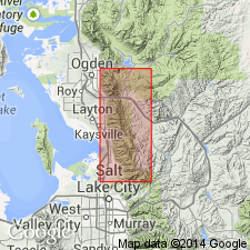
Occurs in a 45-km-long segment between Ogden and Bountiful, UT, on west flanks of Wasatch Mountains, Weber and Davis Cos, UT in Northern Rocky Mountain region. Consists of quartz monzonite, migmatite, schist, gneiss, quartzite and some amphibolites. Detailed lithologic and petrographic descriptions. Protoliths of the layered metamorphic rocks were arkose, graywacke, quartzite, and shale derived from continental crust and deposited near the Archean continental margin. Lenses of amphibolite, metadiabase, and metagabbro, usually 1-3 m thick and a few m long occur throughout the complex. Rb-Sr and Sm-Nd ratios show protoliths of layered rocks are Archean and contain crustal materials 2,800-3,600 m.y. old that were metamorphosed about 2,600 m.y. ago. The quartz monzonite gneiss was crystallized 1,790 m.y. ago, or in Early Proterozoic time based on Rb-Sr isochron and Pb-U isotopic ratios from Zr. Age considered Archean and Early Proterozoic. Chemical analyses. Geologic map.
Source: GNU records (USGS DDS-6; Denver GNULEX).
For more information, please contact Nancy Stamm, Geologic Names Committee Secretary.
Asterisk (*) indicates published by U.S. Geological Survey authors.
"No current usage" (†) implies that a name has been abandoned or has fallen into disuse. Former usage and, if known, replacement name given in parentheses ( ).
Slash (/) indicates name conflicts with nomenclatural guidelines (CSN, 1933; ACSN, 1961, 1970; NACSN, 1983, 2005, 2021). May be explained within brackets ([ ]).

