The National Geologic Map Database is migrating to a new infrastructure. We apologize for any service disruptions during this process.
|
|---|


- Usage in publication:
-
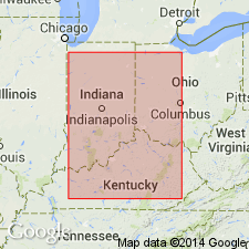
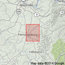
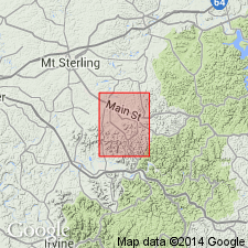
- Farmers siltstone member
- Modifications:
-
- Named
- Dominant lithology:
-
- Siltstone
- AAPG geologic province:
-
- Cincinnati arch
Summary:
Farmers siltstone member of New Providence formation named in Rowan Co., central KY, for village of Farmers where it is exposed in a quarry. Consists of even-bedded uniform-grained siltstones, generally 25 to 35 ft thick. Included in Bluestone facies (new) of the formation. In type area, underlies 15-ft unnamed shale and siltstone unit and overlies Henley shale member of New Providence. Age is Early Mississippian.
Source: GNU records (USGS DDS-6; Reston GNULEX).
- Usage in publication:
-
- Farmers Member*
- Modifications:
-
- Revised
- AAPG geologic province:
-
- Cincinnati arch
Summary:
Farmers Siltstone Member of the New Providence Formation of Stockdale (1939) here revised as Farmers Member of the Borden Formation. Includes Henley Bed at base. Henley revised from Shale Member of Providence Formation as used by Stockdale. Overlies Sunbury Shale. Age is Mississippian.
Source: GNU records (USGS DDS-6; Reston GNULEX).
- Usage in publication:
-
- Farmers Member*
- Modifications:
-
- Revised
- AAPG geologic province:
-
- Cincinnati arch
Summary:
Clay City Siltstone Member of New Providence Formation of Stockdale (1939) revised as Clay City Bed of Farmers Member of Borden Formation. Age of the Farmers is Early Mississippian.
Source: GNU records (USGS DDS-6; Reston GNULEX).
For more information, please contact Nancy Stamm, Geologic Names Committee Secretary.
Asterisk (*) indicates published by U.S. Geological Survey authors.
"No current usage" (†) implies that a name has been abandoned or has fallen into disuse. Former usage and, if known, replacement name given in parentheses ( ).
Slash (/) indicates name conflicts with nomenclatural guidelines (CSN, 1933; ACSN, 1961, 1970; NACSN, 1983, 2005, 2021). May be explained within brackets ([ ]).