- Usage in publication:
-
- Fargo limestone member
- Modifications:
-
- Original reference
- Dominant lithology:
-
- Limestone
- AAPG geologic province:
-
- Forest City basin
Summary:
Pg. 15, 26, 27. Fargo limestone member of Nemaha formation. Exposed between Weeping Water Valley and Walnut Creek; from 4 miles northwest of Fargo to near Rulo; and in spur south of Rulo. Makes prominent cliff in valley side near Fargo, the type locality. One-half mile north of Fargo it consists of: (1) bluish, massive, brittle limestone 1.5 to 2 feet thick, which makes a natural riprap along river bank; (2) dark blue, carbonaceous, clayey to sandy shale, 5 feet; and (3) limestone, 4 feet, in 3 beds. Separated from overlying Preston [Emporia] limestone by 14 to 34 feet of shale and from underlying Burlingame limestone by 11 to 29 [32?] feet of shale. Fossils (crinoids, brachiopods, bryozoans, fusulinids). Age is Pennsylvanian. Report includes measured sections, cross sections.
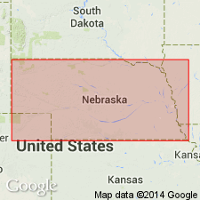
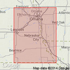
Type locality: forms prominent cliff in valley side near Fargo, Richardson Co., southeastern NE. Exposed between Weeping Water Valley and Walnut Creek, from 4 mi northwest of Fargo to near Rulo, and in spur south of Rulo, Richardson Co., southeastern NE.
Source: US geologic names lexicons (USGS Bull. 896, p. 721; USGS Bull. 1200, p. 1322); GNC KS-NE Pennsylvanian Corr. Chart, sheet 1, Oct. 1936; supplemental information from GNU records (USGS DDS-6; Denver GNULEX).

- Usage in publication:
-
- Fargo limestone†
- Modifications:
-
- Abandoned
Summary:
Pg. 63, 66, 67. "Fargo" limestone of Condra and Bengston [1915] is Wakarusa limestone, which has priority.
Source: US geologic names lexicon (USGS Bull. 896, p. 721).
For more information, please contact Nancy Stamm, Geologic Names Committee Secretary.
Asterisk (*) indicates published by U.S. Geological Survey authors.
"No current usage" (†) implies that a name has been abandoned or has fallen into disuse. Former usage and, if known, replacement name given in parentheses ( ).
Slash (/) indicates name conflicts with nomenclatural guidelines (CSN, 1933; ACSN, 1961, 1970; NACSN, 1983, 2005, 2021). May be explained within brackets ([ ]).

