

- Usage in publication:
-
- Fanney flow-banded rhyolite
- Modifications:
-
- Paleomagnetics
- AAPG geologic province:
-
- Basin-and-Range province
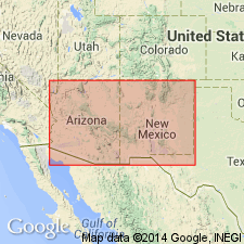
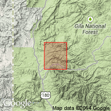
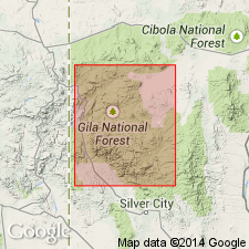
Summary:
In a section measured at Mogollon, Catron Co, NM, Basin-and-Range province, detailed magnetic studies reveal a simple pattern: Cooney Formation and Whitewater Formation [author is referring to Whitewater Creek Member of Cooney Tuff] are older than the other units (Bikerman, 1972), and they are consistently reversely magnetized. They are overlain by Pacific Quartz Latite, which correlates approximately with Apache Spring Quartz Latite. Pacific Quartz Latite is very stable magnetically, but it has an unusual direction of magnetization--therefore, it probably cooled rapidly during a time when the field was reversing. Both in its direction of magnetization and in its magnetic properties, Pacific bears a surprising similarity to Taylor Creek Rhyolite, but is distinctly older. Pacific underlies a sequence of basaltic andesite and rhyolite: Mineral Creek Andesite, Fanney flow-banded rhyolite [Fanney Rhyolite], and Last Chance Andesite are all normally magnetized. Magnetostratigraphic position of Taylor Creek unit within a preliminary model of the middle Tertiary paleomagnetic reversal pattern is depicted on fig. 4; Cooney, Whitewater, Apache Spring, Mineral Creek, Fanney, and Last Chance units depicted on fig. 5.
Source: GNU records (USGS DDS-6; Denver GNULEX).
- Usage in publication:
-
- Fanney Rhyolite*
- Modifications:
-
- Age modified
- AAPG geologic province:
-
- Basin-and-Range province
Summary:
Age changed from Miocene to Oligocene. Includes Deadwood Gulch Member. In Basin-and-Range province.
Source: GNU records (USGS DDS-6; Denver GNULEX).
- Usage in publication:
-
- Fanney Rhyolite*
- Modifications:
-
- Geochronologic dating
- AAPG geologic province:
-
- Basin-and-Range province
Summary:
Is a flow-banded rhyolite in the western and central Mogollon-Datil volcanic field, Catron Co, NM, Basin-and-Range province. Has yielded an age of 26.6 +/-3.7 m.y. (sphene) and 26.9 +/-1.0 m.y. (sanidine), [or Oligocene].
Source: GNU records (USGS DDS-6; Denver GNULEX).
For more information, please contact Nancy Stamm, Geologic Names Committee Secretary.
Asterisk (*) indicates published by U.S. Geological Survey authors.
"No current usage" (†) implies that a name has been abandoned or has fallen into disuse. Former usage and, if known, replacement name given in parentheses ( ).
Slash (/) indicates name conflicts with nomenclatural guidelines (CSN, 1933; ACSN, 1961, 1970; NACSN, 1983, 2005, 2021). May be explained within brackets ([ ]).