- Usage in publication:
-
- Fall Brook Formation
- Modifications:
-
- Named
- Dominant lithology:
-
- Metasandstone
- Metapelite
- AAPG geologic province:
-
- New England province
Summary:
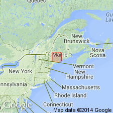
Named for Fall Brook in village of Solon, southern Somerset Co., west-central ME. Consists of massively bedded, well-sorted, weakly calcareous metasandstone with minor metapelite beds. Thinly and regularly interbedded metasandstone and muscovitic metapelite occur at several levels within the formation. Estimated at between 600 and 1000 m thick. Overlies Parkman Hill, Thompson Mountain, and Sangerville Formations; grades upward into Solon Formation. Age is Late Silurian (post-early Ludlovian) to Early Devonian(?) based on its position above Parkman Hill Formation (early Ludlovian) and below Solon Formation (Early Devonian?). Contains no fossils.
Source: GNU records (USGS DDS-6; Reston GNULEX).

- Usage in publication:
-
- Fall Brook Formation
- Modifications:
-
- Redescribed
- Age modified
- Dominant lithology:
-
- Quartzite
- Phyllite
- Quartz wacke
- AAPG geologic province:
-
- New England province
Summary:
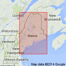
As used here, Fall Brook Formation includes quartzite sequence of original naming paper (Pankiwskyj and others, 1976), extension of the unit east of Skowhegan, ME, by Ludman (1977), and basal sulfidic phyllite and interbedded quartzite that has been mapped as Parkman Hill Formation on more detailed maps. Fall Brook consists of massively bedded, slightly calcareous quartz wacke. Groups of beds of interbedded quartz-mica phyllite/schist and quartzite form a subordinate lithology. Numerous fossil localities have been found in Parkman Hill-equivalent rocks and were assigned late Llandoverian to Ludlovian age. The rest of Fall Brook is nonfossiliferous, but is assigned a Late Silurian or Early Devonian age because of stratigraphic position. Correlates with Madrid Formation of western ME.
Source: GNU records (USGS DDS-6; Reston GNULEX).
For more information, please contact Nancy Stamm, Geologic Names Committee Secretary.
Asterisk (*) indicates published by U.S. Geological Survey authors.
"No current usage" (†) implies that a name has been abandoned or has fallen into disuse. Former usage and, if known, replacement name given in parentheses ( ).
Slash (/) indicates name conflicts with nomenclatural guidelines (CSN, 1933; ACSN, 1961, 1970; NACSN, 1983, 2005, 2021). May be explained within brackets ([ ]).

