- Usage in publication:
-
- Fairview Valley formation
- Modifications:
-
- Named
- Biostratigraphic dating
- Dominant lithology:
-
- Conglomerate
- Hornfels
- Limestone
- AAPG geologic province:
-
- Mojave basin
Summary:
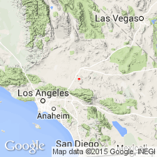
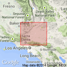
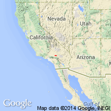
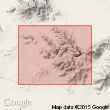
Named for Fairview Valley in columnar section of Barstow 30' quad (Bowen, 1953) where thickness is given as about 6075 feet. Type section designated at [north] edge of Fairview Valley west of Sidewinder gold mine [approximately 34 deg 38'N, 117 deg 07'W, Apple Valley 15' quad] San Bernardino Co, CA. Crops out over area of 3 sq mi. Described as tightly folded series of clastic and limy sedimentary rocks including dark-gray limestone conglomerate, gray-green hornfelsed, silty and sandy limestones, and dense black limestone in thin lenses. Unconformably overlies Oro Grande series. Intruded and overlapped by Sidewinder volcanic series. Age is Permian based on fossil ages (of source rocks of limestone conglomerate) and age of intruding Jurassic to Cretaceous granitic rocks. List of fossils and geologic map of Barstow 30' quad included in report.
Source: GNU records (USGS DDS-6; Menlo GNULEX).

- Usage in publication:
-
- Fairview Valley Formation*
- Modifications:
-
- Adopted
- Age modified
- AAPG geologic province:
-
- Mojave basin
Summary:
Fairview Valley Formation of Bowen (1954) adopted. Lower unit of formation described as dark-greenish-to brownish-gray, laminated thin-bedded platy hornfels. Upper unit composed of limestone cobble conglomerate. Shown on geologic sketch map of Black Mountain near Sidewinder Mountain as Permian and Permian(?) age. Fossils from limestone clasts in conglomerate indicate Fairview Valley Formation may be Permian or younger in age.
Source: GNU records (USGS DDS-6; Menlo GNULEX).

- Usage in publication:
-
- Fairview Valley Formation
- Modifications:
-
- Age modified
- AAPG geologic province:
-
- Mojave basin
Summary:
Age of unit is given as Triassic or Jurassic based on interpretations of isotopic ages of plutons in Victorville region and correlation of structural events.
Source: GNU records (USGS DDS-6; Menlo GNULEX).

- Usage in publication:
-
- Fairview Valley Formation
- Modifications:
-
- Age modified
- Biostratigraphic dating
- AAPG geologic province:
-
- Mojave basin
Summary:
Age of unit is Early Triassic based on conodonts collected from two carbonate beds in sec.1 T6N R3W, Turtle Valley 7.5' quad. Conodonts identified by B.R. Wardlaw (personal commun., 1984). Stratigraphic column for Black Mountain, Victorville area shows Fairview Valley Formation conformably underlies quartzose sandstone which in turn underlies Sidewinder Group; Fairview Valley Formation unconformably overlies Paleozoic rocks intruded by monzonite with U-Pb age of 242 Ma.
Source: GNU records (USGS DDS-6; Menlo GNULEX).
For more information, please contact Nancy Stamm, Geologic Names Committee Secretary.
Asterisk (*) indicates published by U.S. Geological Survey authors.
"No current usage" (†) implies that a name has been abandoned or has fallen into disuse. Former usage and, if known, replacement name given in parentheses ( ).
Slash (/) indicates name conflicts with nomenclatural guidelines (CSN, 1933; ACSN, 1961, 1970; NACSN, 1983, 2005, 2021). May be explained within brackets ([ ]).

