The National Geologic Map Database is migrating to a new infrastructure. We apologize for any service disruptions during this process.
|
|---|


- Usage in publication:
-
- Fairfield Pond member
- Modifications:
-
- Named
- Dominant lithology:
-
- Schist
- Phyllite
- AAPG geologic province:
-
- New England province
Summary:
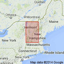
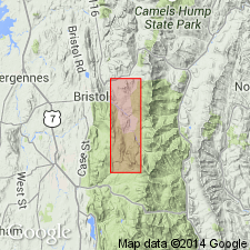
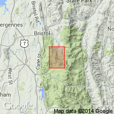
Named the Fairfield member of the Underhill formation of the Camels Hump group for Fairfield Pond, northern VT. Name was first used by Dennis (1961; New England Intercoll. Geol. Conf. Guidebook, Oct. 13-15, 53rd Annual Mtg.). Consists of greenish quartzitic schist (quartz-sericite-albite-chlorite-biotite) and sericite-quartz-chlorite phyllite; locally purple or red. The Fairfield is of Early Cambrian age.
Source: GNU records (USGS DDS-6; Reston GNULEX).
- Usage in publication:
-
- Fairfield Pond Formation
- Modifications:
-
- Revised
- Age modified
- AAPG geologic province:
-
- New England province
Summary:
Raised the Fairfield Pond to formation rank in west-central VT. Overlies the Late Proterozoic Pinnacle Formation and underlies the Lower Cambrian Cheshire Formation. The Fairfield Pond is therefore considered of Late Proterozoic age.
Source: GNU records (USGS DDS-6; Reston GNULEX).
- Usage in publication:
-
- Fairfield Pond Formation
- Modifications:
-
- Age modified
- AAPG geologic province:
-
- New England province
Summary:
Age of the Fairfield Pond Formation changed to Late Proterozoic and Early Cambrian based on correlation with Moosalamoo Member of Mendon Formation in west-central VT and West Sutton Formation in northern VT (study area in central VT).
Source: GNU records (USGS DDS-6; Reston GNULEX).
For more information, please contact Nancy Stamm, Geologic Names Committee Secretary.
Asterisk (*) indicates published by U.S. Geological Survey authors.
"No current usage" (†) implies that a name has been abandoned or has fallen into disuse. Former usage and, if known, replacement name given in parentheses ( ).
Slash (/) indicates name conflicts with nomenclatural guidelines (CSN, 1933; ACSN, 1961, 1970; NACSN, 1983, 2005, 2021). May be explained within brackets ([ ]).