The National Geologic Map Database is migrating to a new infrastructure. We apologize for any service disruptions during this process.
|
|---|


- Usage in publication:
-
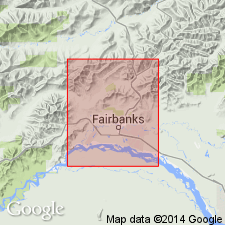
- Fairbanks Loess*
- Modifications:
-
- Named
- Dominant lithology:
-
- Loess
- Ash
- AAPG geologic province:
-
- Alaska East-Central region
Summary:
Unit is named the Fairbanks Loess. Consists of massive, homogeneous unconsolidated eolian silt on upper slopes and hilltops. Is well sorted, less than 10% clay. Color is buff to tan-gray when dry, and brown when wet. Contains three white volcanic ash beds 0.5 to 6 inches thick. Age is Quaternary.
Source: GNU records (USGS DDS-6; Menlo GNULEX).
- Usage in publication:
-
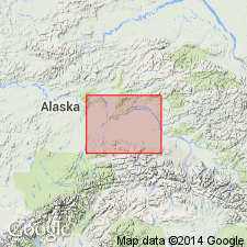
- Fairbanks Loess*
- Modifications:
-
- Age modified
- Mapped
- AAPG geologic province:
-
- Alaska East-Central region
Summary:
Age of Fairbanks Loess is Pleistocene to Recent [Holocene] (Illinoian(?) to Recent).
Source: GNU records (USGS DDS-6; Menlo GNULEX).
- Usage in publication:
-
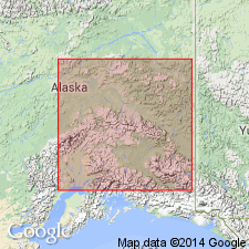
- Fairbanks Loess*
- Modifications:
-
- Age modified
- AAPG geologic province:
-
- Alaska East-Central region
Summary:
Shown on table of correlation of local, nonglacial sequences in Alaska as deposited from pre-Illinoian to Holocene. Assigned Pleistocene and Holocene age.
Source: GNU records (USGS DDS-6; Menlo GNULEX).
- Usage in publication:
-
- Fairbanks Loess*
- Modifications:
-
- Overview
- AAPG geologic province:
-
- Alaska East-Central region
Summary:
Fairbanks Loess originally defined to include all loess on hilltops and upper hillslopes. When traced laterally to lower slopes and valley bottoms, loess can be divided into the Gold Hill Loess, Goldstream Formation, and Engineer Loess. Thickness ranges 1 to 150 m. Two pronounced white vitric ash beds are [enclosed] with in formation; lower one, Ester Ash Bed, occurs near its base. Overlies Cripple Gravel and various types of pre-Quaternary bedrock with sharp contact; Underlies modern soil. Grades laterally into the Engineer Loess, Goldstream Formation and Gold Hill Loess. Age is Pleistocene and Holocene (Illinoian through Holocene).
Source: GNU records (USGS DDS-6; Menlo GNULEX).
For more information, please contact Nancy Stamm, Geologic Names Committee Secretary.
Asterisk (*) indicates published by U.S. Geological Survey authors.
"No current usage" (†) implies that a name has been abandoned or has fallen into disuse. Former usage and, if known, replacement name given in parentheses ( ).
Slash (/) indicates name conflicts with nomenclatural guidelines (CSN, 1933; ACSN, 1961, 1970; NACSN, 1983, 2005, 2021). May be explained within brackets ([ ]).