

- Usage in publication:
-
- Everts Formation*
- Modifications:
-
- Named
- Dominant lithology:
-
- Sandstone
- Mudstone
- AAPG geologic province:
-
- Montana folded belt
Summary:
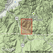
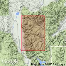
Named for exposures on Mount Everts, Park Co, MT in the Montana folded belt province. Type area is designated on west half Mount Everts north from about 2.5 mi from WY-MT line to the Yellowstone River. Four sections measured and described on Mount Everts. In section 2 the Everts is 1,266 ft thick and is in contact with the Eagle Sandstone below and Landslide Creek Formation above. Is also exposed to south on east side Mount Everts, and in Electric coal field 5 mi to northwest of Gardiner. Is about 1,250 ft thick. Is characterized by light-colored lenticular sandstone and medium- to light-gray, locally greenish, yellowish or brownish mudstone. Contains shallow-water marine pelecypods near base and fresh- or brackish-water pelecypods and gastropods near top. One thin coal lens in area. Overlies Eagle Sandstone; underlies unconformably Landslide Creek Formation (new). Probably correlates with Cokedale Formation which makes it early Campanian age. Base may be Santonian because it grades into the fossiliferous Eagle Sandstone. Assigned to the Late Cretaceous. Geologic map. Cross sections.
Source: GNU records (USGS DDS-6; Denver GNULEX).
- Usage in publication:
-
- Everts? Formation*
- Modifications:
-
- Areal extent
- AAPG geologic province:
-
- Montana folded belt
Summary:
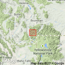
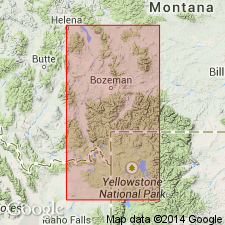
Is provisionally extended into the Madison Range in Madison and Gallatin Cos, southwestern MT, in the Montana folded belt province. Assigned to the Upper Cretaceous.
Source: GNU records (USGS DDS-6; Denver GNULEX).
- Usage in publication:
-
- Everts? Formation*
- Modifications:
-
- Age modified
- Biostratigraphic dating
- AAPG geologic province:
-
- Montana folded belt
Summary:
Age refined on the basis of palynological dating. The co-occurrence of DISTALTRIANGULISPORITES sp. C and PSEUDOPLICAPOLLIS NEWMANII is indicative of latest Santonian or earliest Campanian age for sample 5 from the upper 100 m of strata that conformably underlie Livingston Formation. Correlation chart (fig. 2) shows Everts? Formation to range in age from 86 to 83 m.y.
Source: GNU records (USGS DDS-6; Denver GNULEX).
- Usage in publication:
-
- Everts Formation*
- Modifications:
-
- Biostratigraphic dating
- AAPG geologic province:
-
- Montana folded belt
Summary:
Unquestionably recognized in the Gardner area, MT and in the Madison Range, MT in the Montana folded belt province. At Mount Everts, it overlies Eagle Sandstone and underlies Landslide Creek Formation. In the Madison Range, it overlies Virgelle Sandstone and underlies the Livingston Formation. Fossil collections (palynomorphs) from both areas taken 300-400 ft below top of Everts--which is about 1,250 ft thick. The Mount Everts collection is in PROTEACIDITES RETUSUS Interval Zone. The Madison Range collection is in the PROTEACIDITES RETUSUS and PSEUDOPLICAPOLLIS NEWMANII Interval Zones. The Mount Everts collection is latest Santonian to earliest Campanian age. The Madison Range collection is latest Santonian to earliest Campanian age. Correlation chart.
Source: GNU records (USGS DDS-6; Denver GNULEX).
For more information, please contact Nancy Stamm, Geologic Names Committee Secretary.
Asterisk (*) indicates published by U.S. Geological Survey authors.
"No current usage" (†) implies that a name has been abandoned or has fallen into disuse. Former usage and, if known, replacement name given in parentheses ( ).
Slash (/) indicates name conflicts with nomenclatural guidelines (CSN, 1933; ACSN, 1961, 1970; NACSN, 1983, 2005, 2021). May be explained within brackets ([ ]).