The National Geologic Map Database is migrating to a new infrastructure. We apologize for any service disruptions during this process.
|
|---|


- Usage in publication:
-
- Eunice formation
- Modifications:
-
- Original reference
- AAPG geologic province:
-
- Gulf Coast basin
Summary:
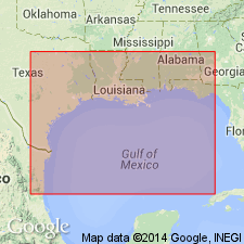
Pg. 1831. Eunice formation. Name used for formation covering Lake Charles-Ville Platte-Opelousas-Lafayette area. Younger than newly defined Oberlin formation. Unit has been referred to as upper Beaumont. Age is Pleistocene.
Town of Eunice, St. Landry Parish, lies approx. in the center of the area.
Source: US geologic names lexicon (USGS Bull. 1200, p. 1295).
For more information, please contact Nancy Stamm, Geologic Names Committee Secretary.
Asterisk (*) indicates published by U.S. Geological Survey authors.
"No current usage" (†) implies that a name has been abandoned or has fallen into disuse. Former usage and, if known, replacement name given in parentheses ( ).
Slash (/) indicates name conflicts with nomenclatural guidelines (CSN, 1933; ACSN, 1961, 1970; NACSN, 1983, 2005, 2021). May be explained within brackets ([ ]).