- Usage in publication:
-
- Estacada Formation*
- Modifications:
-
- Named
- Dominant lithology:
-
- Gravel
- AAPG geologic province:
-
- Western Columbia basin
Summary:
Pg. 10 (fig. 4),56-58, pl. 1. Estacada Formation. Cobble gravel and bouldery cobble gravel with minor amounts of mudflow deposits; weathered to depth of about 10 feet. Thickness as much as 100 feet along Sandy River; 30 to 50 feet along Clackamas River and Clear Creek. Younger than Gresham formation (new). May be found to correlate with Linn gravels when mapping of intervening area is completed. Relative topographic position and degree of weathering suggest late Pleistocene age.
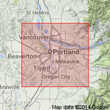
Named for town of Estacada, Clackamas Co., northwestern OR, part of which is sited on the formation.
Source: US geologic names lexicon (USGS Bull. 1350, p. 246-247).
For more information, please contact Nancy Stamm, Geologic Names Committee Secretary.
Asterisk (*) indicates published by U.S. Geological Survey authors.
"No current usage" (†) implies that a name has been abandoned or has fallen into disuse. Former usage and, if known, replacement name given in parentheses ( ).
Slash (/) indicates name conflicts with nomenclatural guidelines (CSN, 1933; ACSN, 1961, 1970; NACSN, 1983, 2005, 2021). May be explained within brackets ([ ]).

