- Usage in publication:
-
- Establishment member
- Modifications:
-
- Original reference
- Dominant lithology:
-
- Limestone
- Dolomite
- AAPG geologic province:
-
- Wisconsin arch
Summary:
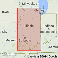
Figs. 3, 10, 15A, 16. Establishment member of Mifflin formation. Limestone, thick-bedded; dolomite, moderately argillaceous and shaly, thin-bedded. Thickness 2 to 7 feet. Shown on columnar section as underlying Hazelwood member (new) and overlying Boarman member (new). Age is Middle Ordovician.
[Notable exposures in Dixon-Oregon area, northern IL.]
[GNC remark (ca. 1966, US geologic names lexicon, USGS Bull. 1200, p. 1289): In copy of guidebook used by compiler [G.C. Keroher], a handwritten note states that Brickeys member overlies Boarman member. Thus, the sequence would be (descending) Hazelwood, Establishment, and Brickeys. Compiler had no way of determining what change, if any, had been made in other copies of the guidebook.]
Source: US geologic names lexicon (USGS Bull. 1200, p. 1288-1289).

- Usage in publication:
-
- Establishment Shale*
- Modifications:
-
- Revised
- AAPG geologic province:
-
- Ozark uplift
- Illinois basin
Summary:
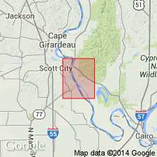
Middle Ordovician Establishment Shale [here rank raised] occurs at base of Plattin Group in MO and subsurface of IL and MO. Consists of green shale and intercalated lithographic limestone.
Source: GNU records (USGS DDS-6; Reston GNULEX).
For more information, please contact Nancy Stamm, Geologic Names Committee Secretary.
Asterisk (*) indicates published by U.S. Geological Survey authors.
"No current usage" (†) implies that a name has been abandoned or has fallen into disuse. Former usage and, if known, replacement name given in parentheses ( ).
Slash (/) indicates name conflicts with nomenclatural guidelines (CSN, 1933; ACSN, 1961, 1970; NACSN, 1983, 2005, 2021). May be explained within brackets ([ ]).

