The National Geologic Map Database is migrating to a new infrastructure. We apologize for any service disruptions during this process.
|
|---|


- Usage in publication:
-
- Erath member
- Modifications:
-
- Original reference
- Biostratigraphic dating
- Reference
- Dominant lithology:
-
- Shale
- Sandstone
- AAPG geologic province:
-
- Gulf Coast basin
Summary:
Pg. 91-97. Erath member of Anahuac formation. Term proposed for so-called deep water facies of down-dip Anahuac formation, which is regarded as upper Oligocene or lower Miocene. Predominantly shale unit containing some sandstone. Characterized by two foraminferal zones, PLANULINA PALMERAE and Abbeville. These biostratigraphic zones serve to define Erath member, the same way MARGINULINA and DISCORBIS zones are used to limit type Anahuac. No single well log at present satisfactorily includes entire member. Reference log designated.
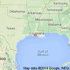
Reference log (subsurface): Texas Company Erath Unit 38, no. 7, Erath field, Vermilion Parish, southern LA. Near Erath townsite.
Source: US geologic names lexicon (USGS Bull. 1200, p. 1274).
For more information, please contact Nancy Stamm, Geologic Names Committee Secretary.
Asterisk (*) indicates published by U.S. Geological Survey authors.
"No current usage" (†) implies that a name has been abandoned or has fallen into disuse. Former usage and, if known, replacement name given in parentheses ( ).
Slash (/) indicates name conflicts with nomenclatural guidelines (CSN, 1933; ACSN, 1961, 1970; NACSN, 1983, 2005, 2021). May be explained within brackets ([ ]).