

- Usage in publication:
-
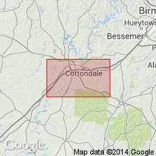
- Eoline formation*
- Modifications:
-
- Named
- Biostratigraphic dating
- Dominant lithology:
-
- Sand
- Clay
- AAPG geologic province:
-
- Appalachian basin
- Mid-Gulf Coast basin
Summary:
Eoline formation, here named, includes the marine beds that lie between the apparently nonmarine Cottondale formation (new) and the Coker formation (new). Consists of glauconitic fine- to medium-grained sand and laminated gray clay. Sand and clay beds are lenticular and of doubtful persistence, but upper part is commonly more clayey and lower part more sandy. HALYMENITES borings locally present, chiefly in upper half. Weathered exposures commonly bright rusty red; updip exposures in Cottondale quad chiefly purple and red sand with little or no glauconite and no HALYMENITES. Thickness 50 to 150 ft. In many places, upper contact is abrupt, locally showing as much as 40 ft of channeling and in such places commonly overlain by nonglauconitic sand; at other places, by massive clay of Coker. At such places, contact is undulating surface having about 10 ft of relief. Lignitized logs and macerated plant remains near top have been determined as Upper Cretaceous.
Source: GNU records (USGS DDS-6; Reston GNULEX).
- Usage in publication:
-
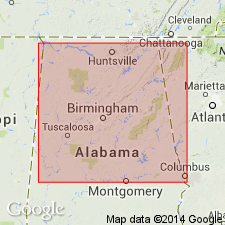
- Eoline member*
- Modifications:
-
- Revised
- AAPG geologic province:
-
- Mid-Gulf Coast basin
Summary:
Rank of Eoline reduced to member status in the Coker formation (revised). Sediments heretofore designated Cottondale are included in Eoline member.
Source: GNU records (USGS DDS-6; Reston GNULEX).

- Usage in publication:
-
- Eoline Member
- Modifications:
-
- Overview
- AAPG geologic province:
-
- Mid-Gulf Coast basin
Summary:
Eoline Member present near the base of the Coker Formation in western AL. Unit is thinly laminated finely glauconitic very fine- to medium-grained sand, silt, and dark-gray carbonaceous and lignitic clay. Age is Late Cretaceous (late Cenomanian-early Turonian).
Source: GNU records (USGS DDS-6; Reston GNULEX).
For more information, please contact Nancy Stamm, Geologic Names Committee Secretary.
Asterisk (*) indicates published by U.S. Geological Survey authors.
"No current usage" (†) implies that a name has been abandoned or has fallen into disuse. Former usage and, if known, replacement name given in parentheses ( ).
Slash (/) indicates name conflicts with nomenclatural guidelines (CSN, 1933; ACSN, 1961, 1970; NACSN, 1983, 2005, 2021). May be explained within brackets ([ ]).