- Usage in publication:
-
- Enochkin formation*
- Modifications:
-
- Named
- Biostratigraphic dating
- Dominant lithology:
-
- Shale
- Sandstone
- Conglomerate
- AAPG geologic province:
-
- Alaska Southwestern region
Summary:
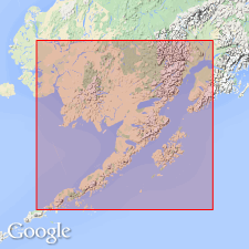
Named for typical exposures on east shore of Enochkin Bay, lower Cook Inlet, southwestern AK. Extends in continuous belt west of and parallel to shore of Cook Inlet as far northward as Snug Harbor. Also covers large area on Alaska Peninsula in vicinity of Cold Bay. Detailed sections are described in report. Consists of shales and sandstones with some conglomerate beds. Thickness is from 1500 to 2500 ft. Overlies tuffs and sandstones of Early Jurassic age. Underlies Naknek formation of Late Jurassic age. Age is Middle Jurassic based on fossil fauna and flora.
Source: GNU records (USGS DDS-6; Menlo GNULEX).

- Usage in publication:
-
- "Enochkin formation"†
- Modifications:
-
- Abandoned
- AAPG geologic province:
-
- Alaska Southwestern region
Summary:
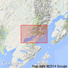
"Enochkin formation" here [abandoned] because of dissimilarity of the lithologic character and fauna of the two parts (ascending): Tuxedni sandstone (new) and Chinitna shale (new).
Source: GNU records (USGS DDS-6; Menlo GNULEX).
For more information, please contact Nancy Stamm, Geologic Names Committee Secretary.
Asterisk (*) indicates published by U.S. Geological Survey authors.
"No current usage" (†) implies that a name has been abandoned or has fallen into disuse. Former usage and, if known, replacement name given in parentheses ( ).
Slash (/) indicates name conflicts with nomenclatural guidelines (CSN, 1933; ACSN, 1961, 1970; NACSN, 1983, 2005, 2021). May be explained within brackets ([ ]).

