

- Usage in publication:
-
- Enitachopco Creek quartzite member
- Modifications:
-
- First used
- Dominant lithology:
-
- Quartzite
- AAPG geologic province:
-
- Piedmont-Blue Ridge province
Summary:
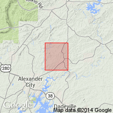
Within the typical Cragford is a sequence of biotite quartzite, here referred to informally as the Enitachopco Creek quartzite member, which measures 428 ft thick in its type area in Tallapoosa Co.
Source: GNU records (USGS DDS-6; Reston GNULEX).
For more information, please contact Nancy Stamm, Geologic Names Committee Secretary.
Asterisk (*) indicates published by U.S. Geological Survey authors.
"No current usage" (†) implies that a name has been abandoned or has fallen into disuse. Former usage and, if known, replacement name given in parentheses ( ).
Slash (/) indicates name conflicts with nomenclatural guidelines (CSN, 1933; ACSN, 1961, 1970; NACSN, 1983, 2005, 2021). May be explained within brackets ([ ]).