The National Geologic Map Database is migrating to a new infrastructure. We apologize for any service disruptions during this process.
|
|---|


- Usage in publication:
-
- Tioga stage
- [Tioga glacial stage]
- Modifications:
-
- Original reference
- AAPG geologic province:
-
- Great Basin province
Summary:
Pg. 865-922. Tioga stage [Tioga glacial stage]. Youngest glacial stage on eastern slope of Sierra Nevada, California. Named for fact the glacier depositing the till occupied Tioga Pass, and its lobes descended both southwest and northeast therefrom. Correlated with Wisconsin stage. Age is Pleistocene.
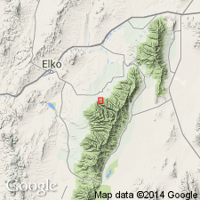
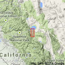
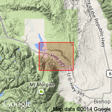
[Tioga Pass, approx. Lat. 37 deg. 54 min. 40 sec. N., Long. 119 deg. 15 min. 29 sec. W., Tioga Pass 7.5-min quadrangle, Mono and Tuolumne Cos., Yosemite National Park, eastern central CA (USGS GNIS database, accessed Cinco de Mayo 2012).]
Source: US geologic names lexicon (USGS Bull. 896, p. 2153).
- Usage in publication:
-
- Tioga glacial stage
- Tioga till
- Modifications:
-
- Areal extent
- AAPG geologic province:
-
- Great Basin province
Summary:
Pg. 1291-1292. Tioga glacial stage; Tioga till. At least four ice advances occurred in Pleistocene; earliest, here named Aeolian Buttes, was followed by Sherwin, Tahoe, and Tioga, previously named by Blackwelder. Constructional forms have been destroyed on the two older tills but preserved on the later ones. Rhyolitic ash and pumice, now Bishop welded tuff, were erupted in interval between Aeolian Buttes and Sherwin glacial stages. Age is Pleistocene.
Source: US geologic names lexicon (USGS Bull. 1200, p. 3897).
- Usage in publication:
-
- Tioga glacial stage
- Tioga till
- Modifications:
-
- Areal extent
- AAPG geologic province:
-
- Great Basin province
Summary:
Pg. 235, 238-239, map 1. Tioga glacial stage; Tioga till. Sherwin till is pre- rather than post-Bishop tuff. Name Aeolian Buttes considered invalid as representing an earlier Pleistocene, pre-Sherwin glacial stage. Hence, glacial sequence is McGee, Sherwin, Tahoe, and Tioga.
[GNC remark (ca. 1966, US geologic names lexicon, USGS Bull. 1200, p. 3809): Name amended to Tioga Glaciation in compliance with 1961 Code of Stratigraphic Nomenclature. Adopted by the USGS.]
Source: US geologic names lexicon (USGS Bull. 1200, p. 3897).
For more information, please contact Nancy Stamm, Geologic Names Committee Secretary.
Asterisk (*) indicates published by U.S. Geological Survey authors.
"No current usage" (†) implies that a name has been abandoned or has fallen into disuse. Former usage and, if known, replacement name given in parentheses ( ).
Slash (/) indicates name conflicts with nomenclatural guidelines (CSN, 1933; ACSN, 1961, 1970; NACSN, 1983, 2005, 2021). May be explained within brackets ([ ]).