- Usage in publication:
-
- Engineer Loess*
- Modifications:
-
- Named
- Geochronologic dating
- Dominant lithology:
-
- Loess
- AAPG geologic province:
-
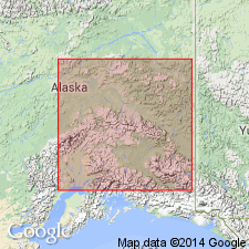
- Alaska East-Central region
Summary:
Named for exposures in Engineer Creek 10 km north of Fairbanks. Previously referred to informally as "Engineer muck" and "Engineer formation" (Pewe, 1952; Rubin and Alexander, 1958). Composed of masses of unbedded loess and some weakly bedded slightly retransported loess with thin iron oxide-stained and carbonaceous beds. Locally contains [but does not include as members] Wilber, Jarvis, and White River Ash Beds. Thickness ranges 1 to 12 m. Disconformably overlies Goldstream Formation (new). Grades downslope into Ready Bullion Formation (new). Grades upslope into Fairbanks Loess. Radiocarbon ages range from 11,090 +/-170 to 455 +/-130 yr B.P. Assigned Holocene age (less than 10,500 yr B.P.) [latest Pleistocene]
Source: GNU records (USGS DDS-6; Menlo GNULEX).
For more information, please contact Nancy Stamm, Geologic Names Committee Secretary.
Asterisk (*) indicates published by U.S. Geological Survey authors.
"No current usage" (†) implies that a name has been abandoned or has fallen into disuse. Former usage and, if known, replacement name given in parentheses ( ).
Slash (/) indicates name conflicts with nomenclatural guidelines (CSN, 1933; ACSN, 1961, 1970; NACSN, 1983, 2005, 2021). May be explained within brackets ([ ]).

