

- Usage in publication:
-
- Encinal Canyon Member*
- Modifications:
-
- Named
- Dominant lithology:
-
- Sandstone
- Shale
- Mudstone
- AAPG geologic province:
-
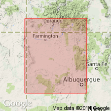
- San Juan basin
Summary:
Named as basal member of Dakota Sandstone for Encinal Canyon, Cibola Co, NM. Type section measured in W1/2 NE1/4 sec 26, T10N, R6W. Is a discontinuous cliff-former around southern and eastern margins, San Juan basin from Encinal Canyon, El Morro National Monument, to Mesa Laguna, Rio Arriba Co. Is a very light-gray or brown, fine- to medium-grained quartzose commonly conglomeratic sandstone, dark-gray shale, mudstone, and some thin coal beds. Has some rip-up clasts, especially at base. Typically trough cross-bedded, tabular planar cross-beds and rarely, horizontal laminations. Has clay-rich or calcareous and locally silica cement. Distinguished from overlying and underlying units by presence of black disseminated carbonaceous debris, and thin discontinuous lenses of gray mudstone. Clasts in conglomerates are varicolored and white, angular, chalky chert and quartzite which vary from very coarse sand to large pebbles. Is 30.5 ft thick at type; may be 100 ft thick. Overlies Brushy Basin Member of Morrison at type; may rest on Zuni Sandstone. Basal contact is a scour-surface--a regional unconformity. Upper contact is a sharp planar surface with Oak Canyon Member of Dakota. Formerly mapped as part of Jackpile sandstone of Brushy Basin Member, Burro Canyon, and Dakota Formations. Of Late Cretaceous, early Cenomanian age (palynomorphs). Deposited by easterly flowing streams in a paralic or marginal marine environment.
Source: GNU records (USGS DDS-6; Denver GNULEX).
- Usage in publication:
-
- Encinal Canyon Member*
- Modifications:
-
- Overview
- AAPG geologic province:
-
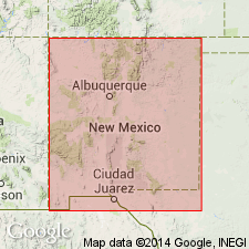
- Paradox basin
- San Juan basin
Summary:
Encinal Canyon Member of Dakota Sandstone of Paradox and San Juan basins in Colorado Plateau region and Horsetooth Member of Muddy Sandstone of central CO are probably a single, diachronous, alluvial aggradational unit. Incised valleys beneath Horsetooth (near edge of seaway) and Encinal Canyon (well inland from seaway) were probably part of a single drainage surface. Age difference between Horsetooth and Encinal Canyon is slight; macrofossil and microfossil data, summarized by other workers, support late Albian age for Horsetooth; Encinal Canyon is earliest Cenomanian; almost identical earliest Cenomanian palynomorph suites occur in both Mowry Shale, which overlies Muddy in central CO and in Encinal Canyon in plateau region.
Source: GNU records (USGS DDS-6; Denver GNULEX).
For more information, please contact Nancy Stamm, Geologic Names Committee Secretary.
Asterisk (*) indicates published by U.S. Geological Survey authors.
"No current usage" (†) implies that a name has been abandoned or has fallen into disuse. Former usage and, if known, replacement name given in parentheses ( ).
Slash (/) indicates name conflicts with nomenclatural guidelines (CSN, 1933; ACSN, 1961, 1970; NACSN, 1983, 2005, 2021). May be explained within brackets ([ ]).