- Usage in publication:
-
- Elwren sandstone and shale
- Modifications:
-
- Named
- Dominant lithology:
-
- Sandstone
- Shale
- AAPG geologic province:
-
- Illinois basin
Summary:
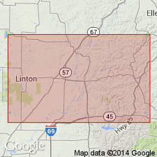
Named Elwren sandstone and shale. Unit consists of one or more members of sandstone and frequently, considerable thicknesses of shale. Total thickness is 40 to 50 ft. Overlies the Reelsville limestone; underlies the Beech Creek limestone.
Source: GNU records (USGS DDS-6; Reston GNULEX).
- Usage in publication:
-
- Elwren sandstone and shale
- Modifications:
-
- Areal extent
- Revised
- AAPG geologic province:
-
- Illinois basin
Summary:
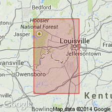
Elwren sandstone and shale extended from southern Indiana into northern Kentucky where unit forms the middle unit in the Paint Creek. Sandy shale predominates throughout. Ranges from 3 to 40 ft in thickness. Formation is wedge shaped, thicker to the north. May pinch out to the south. Underlain by the Reelsville limestone; overlain by the Productus inflatus zone [Beech Creek Limestone].
Source: GNU records (USGS DDS-6; Reston GNULEX).
- Usage in publication:
-
- Elwren formation
- Modifications:
-
- Overview
- Revised
- Dominant lithology:
-
- Shale
- Siltstone
- Mudstone
- Sandstone
- AAPG geologic province:
-
- Illinois basin
Summary:
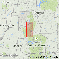
Elwren Formation is assigned as top formation in newly revived West Baden Group. In the Huron area, approximately two-thirds of formation consists of green-gray, red-brown, and olive-gray shales, siltstone and mudstone. Remainder is mostly unevenly thin-bedded, very fine grained sandstone that contains some thick lenses of cross-bedded fine-grained sandstone. Four measurements of thickness range from 37 to 52 ft; average is 44. Conformably overlies Reelsville Limestone except where Reelsville is missing. Conformably underlies Beech Creek Limestone.
Source: GNU records (USGS DDS-6; Reston GNULEX).
- Usage in publication:
-
- Elwren Sandstone* of Malott (1919)
- Modifications:
-
- Overview
- AAPG geologic province:
-
- Illinois basin
Summary:
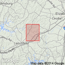
One of several U.S. Geological Survey geologic quadrangle maps published between 1962 and 1978 in western Kentucky on which the Elwren Sandstone of Malott (1919) was mapped. "Clay shale, gray or greenish-gray; weathers to yellow-brown clay soil; rarely exposed; forms small bench between limestone slopes; lower contact [with Reelsville Limestone] is gradational, shale grades downward into limestone within 1 to 3 feet." Conformably overlain by Beech Creek Limestone Member of Golconda Formation.
Source: GNU records (USGS DDS-6; Reston GNULEX).
- Usage in publication:
-
- Elwren Formation
- Modifications:
-
- Principal reference
- AAPG geologic province:
-
- Illinois basin
Summary:
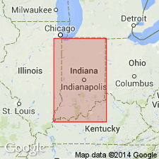
Adopted usage of Indiana Geological Survey is Elwren Formation of West Baden Group. Principal reference section designated. The Elwren includes thin-bedded fine-grained sandstone, cross-bedded sandstone, and green-gray and red-brown shale and mudstone. It ranges from 20 to 60 ft in thickness in Indiana. Crops out from southern Putnam County southward to the Ohio River. The equivalent in the subsurface to the west is the Cypress Formation. Conformably overlain by the Beech Creek Limestone; conformably underlain by the Reelsville Limestone except in a few places where a disconformity exists.
Source: GNU records (USGS DDS-6; Reston GNULEX).
For more information, please contact Nancy Stamm, Geologic Names Committee Secretary.
Asterisk (*) indicates published by U.S. Geological Survey authors.
"No current usage" (†) implies that a name has been abandoned or has fallen into disuse. Former usage and, if known, replacement name given in parentheses ( ).
Slash (/) indicates name conflicts with nomenclatural guidelines (CSN, 1933; ACSN, 1961, 1970; NACSN, 1983, 2005, 2021). May be explained within brackets ([ ]).

