

- Usage in publication:
-
- Elm Creek limestone
- Modifications:
-
- Original reference
- Dominant lithology:
-
- Limestone
- AAPG geologic province:
-
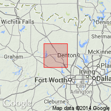
- Fort Worth syncline
Summary:
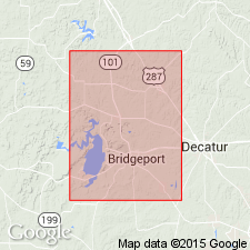
Pg. 18. Elm Creek limestone [of Canyon group]. Light-gray limestone in moderately thick beds, with an irregular surface. Thickness 8 feet. We find it in middle part of Elm Creek, Wise County, central northern Texas. Farther west it is well exposed in lower part of Indian Creek and upper part of Big Creek, and to south it forms an extensive plain slanting northwest to west of Jack County line. Contains fossils. Is overlain by 20 feet of gray shales with rare fossils and underlain by 40+/- feet of gray shales with intercalated sandstones. Lies 140+/- feet higher than Devils Den limestone. Probably belongs to Canyon division. [Age is Pennsylvanian.]
Source: US geologic names lexicon (USGS Bull. 896, p. 678).
- Usage in publication:
-
- Elm Creek limestone[†]
- Modifications:
-
- [Abandoned]
- AAPG geologic province:
-
- Fort Worth syncline
Summary:
Pg. 38. "It is possible that the limestone here referred to the Ranger is the same as the one named Elm Creek by Bose, but that writer's description is so sketchy that it is not possible to be certain which stratum he had in mind. Elm Creek is, therefore, being ignored in this report."
Source: Publication.
For more information, please contact Nancy Stamm, Geologic Names Committee Secretary.
Asterisk (*) indicates published by U.S. Geological Survey authors.
"No current usage" (†) implies that a name has been abandoned or has fallen into disuse. Former usage and, if known, replacement name given in parentheses ( ).
Slash (/) indicates name conflicts with nomenclatural guidelines (CSN, 1933; ACSN, 1961, 1970; NACSN, 1983, 2005, 2021). May be explained within brackets ([ ]).