The National Geologic Map Database is migrating to a new infrastructure. We apologize for any service disruptions during this process.
|
|---|


- Usage in publication:
-
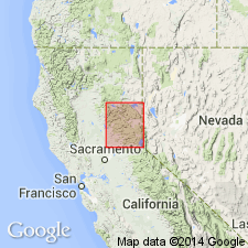
- Ellis Peak Formation*
- Modifications:
-
- Named
- Dominant lithology:
-
- Quartz
- Siltstone
- AAPG geologic province:
-
- Sierra Nevada province
Summary:
Name derived from Ellis Peak. Type locality designated as exposures on northwest slope of Ellis Peak, secs.9-10 T14N R16E, Homewood 7.5' quad [Placer Co, CA]. Is part of informal Lake Tahoe sequence east of Talbot fault zone. Composed of quartz arenite beds interbedded with metasiltstone beds. Is 800 ft thick at type locality (but upper contact is fault). Gradationally overlies Blackwood Creek Formation (new); is in fault contact with overlying unnamed pelite unit. Age regarded as Early Jurassic (no fossils found) based on stratigraphic relations.
Source: GNU records (USGS DDS-6; Menlo GNULEX).
For more information, please contact Nancy Stamm, Geologic Names Committee Secretary.
Asterisk (*) indicates published by U.S. Geological Survey authors.
"No current usage" (†) implies that a name has been abandoned or has fallen into disuse. Former usage and, if known, replacement name given in parentheses ( ).
Slash (/) indicates name conflicts with nomenclatural guidelines (CSN, 1933; ACSN, 1961, 1970; NACSN, 1983, 2005, 2021). May be explained within brackets ([ ]).