- Usage in publication:
-
- Ellenton Formation*
- Modifications:
-
- Named
- Dominant lithology:
-
- Clay
- Sand
- Gravel
- AAPG geologic province:
-
- Atlantic Coast basin
Summary:
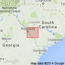
Ellenton Formation, here named in SC and adjacent GA, described as 18 m of gray to black lignitic micaceous clay interbedded with quartz sand and gravel at its type section at the Savannah River Plant. Thickness ranges from 0 to 30 m. Overlies Tuscaloosa Formation and underlies Congaree(?) or McBean Formation. Age is Late Cretaceous(?).
Source: GNU records (USGS DDS-6; Reston GNULEX).
- Usage in publication:
-
- Ellenton Formation*
- Modifications:
-
- Age modified
- Biostratigraphic dating
- AAPG geologic province:
-
- Atlantic Coast basin
Summary:
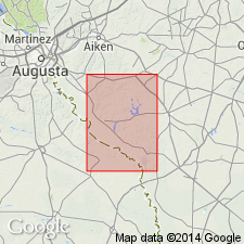
The age of the Ellenton is changed from Cretaceous to Paleocene (Midwayan) based on dinoflagellates and pollen from cored wells near the type section. It correlates with the Naheola, Porters Creek, and/or Clayton Formations in AL and western GA, Rhems Formation of the Black Mingo Group of Sloan (1908) as revised by Van Niewenhuise and Colquhoun (1982) in eastern SC, and lower part of Huber Formation in central and eastern GA.
Source: GNU records (USGS DDS-6; Reston GNULEX).
- Usage in publication:
-
- "Ellenton"†
- Modifications:
-
- Abandoned
- AAPG geologic province:
-
- Atlantic Coast basin
Summary:
Authors believe term "Ellenton" should be abandoned because sediments named by Siple (1967) consist of two different sedimentary sequences with different lithologies deposited during separate cycles of deposition. Considered to be both early and late Paleocene by Harris and Zullo (1992). Name Sawdust Landing Formation is used for the basal Paleocene in this report and Lang Syne Formation for the upper Paleocene. [See also Fallaw and Price, 1995: Southeastern Geology, v. 35, no. 1, p. 21-58.]
Source: GNU records (USGS DDS-6; Reston GNULEX).
- Usage in publication:
-
- Ellenton Formation
- Modifications:
-
- Biostratigraphic dating
- AAPG geologic province:
-
- Atlantic Coast basin
Summary:
Prowell and others (1985) reported early Paleocene fossils from the lower part of the Ellenton. Authors of this report have obtained many dinoflagellate dates of early Paleocene age from the lower part and a few late Paleocene dates from the upper part. The Ellenton may later be subdivided. It appears to correlate with the Clayton, Porters Creek, Naheola, and Nanafalia formations of the Gulf Coastal Plain.
Source: GNU records (USGS DDS-6; Reston GNULEX).
- Usage in publication:
-
- Ellenton Formation*
- Modifications:
-
- Mapped 1:100k
- Dominant lithology:
-
- Sand
- Clay
- AAPG geologic province:
-
- Atlantic Coast basin
- South Georgia sedimentary province
Summary:
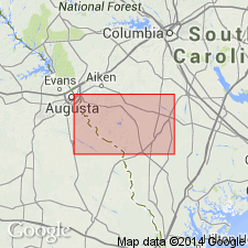
Pg. 5, 8, 14, geol. map. Ellenton Formation. Delta deposits. Previously included in Tuscaloosa Formation by Cooke, 1936 (USGS Bull. 867). Probably correlative with Black Mingo Group of Van Nieuwenhuise and Colquhoun (1982). Consists of cross-bedded clayey sand and clay; contains abundant sillimanite and feldspar, and traces of cristobalite. In subsurface includes well-laminated clayey silt and clay, and low-density siltstone at top (Siple, 1967); these upper beds are absent in outcrop exposures. Age is considered Paleocene (Midwayan to Sabinian), based on fossils (pollen and dinoflagellates identified by N.O. Frederiksen and L.E. Edwards, USGS, written commun., 1980-1986).
Best exposure (lower beds) in quadrangle: in building excavation site on south side of U.S. Route 278 just east of Hollow Creek bridge.
Source: Publication; GNU records (USGS DDS-6; Reston GNULEX).
For more information, please contact Nancy Stamm, Geologic Names Committee Secretary.
Asterisk (*) indicates published by U.S. Geological Survey authors.
"No current usage" (†) implies that a name has been abandoned or has fallen into disuse. Former usage and, if known, replacement name given in parentheses ( ).
Slash (/) indicates name conflicts with nomenclatural guidelines (CSN, 1933; ACSN, 1961, 1970; NACSN, 1983, 2005, 2021). May be explained within brackets ([ ]).

