- Usage in publication:
-
- Elkhorn Mountains volcanics*
- Modifications:
-
- Named
- Dominant lithology:
-
- Breccia
- Tuff
- Conglomerate
- AAPG geologic province:
-
- Montana folded belt
Summary:
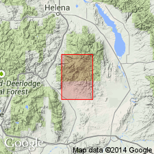
Named for exposures around the Elkhorn Mountains, Jefferson and Broadwater Cos, MT in the Montana folded belt province. No type locality designated. Have been mapped as andesite and latite in earlier reports. Exposed in a broad syncline east of Boulder batholith and along Elkhorn Creek, and areas immediately to the north, east, and southwest. More than 5,000 ft thick. Composed of green, red, brown, gray, massive, poorly bedded, fragments of a single rock type, closely packed tuffs, breccias, and flows predominately andesitic and related hypabyssal intrusive rocks. Quartz latitic welded tuff and basalt flows present in smaller amounts. Also includes flows, flow breccias, welded or partly welded ash-flow tuff, and porphyritic to equigranular sills, dikes, and small irregular plutons of intrusive facies of volcanic rocks. Most of the breccia and coarse tuff probably of mud-flow origin. Separable into five units locally on geologic map. Volcanic conglomerate of pebbles, cobbles, and boulders of several types interbedded with tuff in lower member. Measured section. Plant fossils, fish teeth, vertebrate bones, algal coatings found a few mi south in a volcanic conglomerate thought to be related to formation. Late Cretaceous age. Correlation chart.
Source: GNU records (USGS DDS-6; Denver GNULEX).
- Usage in publication:
-
- Elkhorn Mountains volcanics
- Modifications:
-
- Revised
- AAPG geologic province:
-
- Montana folded belt
Summary:
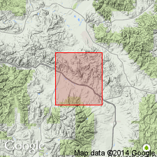
A thick (4,000 to 6,000 ft) sequence of andesitic lava, andesitic tuff, limestone- and chert-pebble conglomerate, sandstone, and siltstone previously thought to correlate with Elkhorn Mountains volcanics are named Golden Spike facies of Elkhorn Mountains. Makes up entire Elkhorn Mountains volcanics in report area. Lies unconformably above Carter Creek formation (new) of Colorado group. Probably correlates with Beaverhead conglomerate of southwest MT. Of latest Cretaceous age. No fossils found.
Source: GNU records (USGS DDS-6; Denver GNULEX).
- Usage in publication:
-
- Elkhorn Mountains Volcanics
- Modifications:
-
- Revised
- AAPG geologic province:
-
- Montana folded belt
Summary:
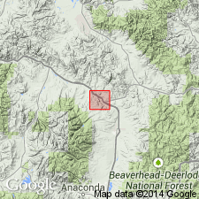
Golden Spike Formation raised to formation rank and removed as member or facies of Elkhorn Mountains. Study area near Garrison, Powell Co, MT (Montana folded belt province). Golden Spike correlates with lower member of Elkhorn Mountains. [Though authors describe Golden Spike as "a western facies of the Elkhorn Mountains Volcanics," intent is to remove it from Elkhorn Mountains].
Source: GNU records (USGS DDS-6; Denver GNULEX).
- Usage in publication:
-
- Elkhorn Mountains Volcanics*
- Modifications:
-
- Overview
- AAPG geologic province:
-
- Montana folded belt
Summary:
Thought to be the time equivalent of Maudlow and Sedan Formations, newly named formations of Livingston Group in Gallatin, Park, and Meagher Cos, MT in the Montana folded belt province. Radiometric ages on hornblende from the lower member agree with those found in member B of Maudlow which lie at the eastern edge of the Elkhorn Mountains volcanic field. The Elkhorn Mountains Volcanics are the vent facies of the pile; Maudlow Formation is a remnant of the coarse alluvial facies of the volcanic pile; and Sedan, Cokedale, and Miner Creek Formations are the fine alluvial facies of the volcanic pile. Assigned to the early and late Santonian, or Late Cretaceous.
Source: GNU records (USGS DDS-6; Denver GNULEX).
- Usage in publication:
-
- Elkhorn Mountains Volcanics*
- Modifications:
-
- Mapped 1:250k
- Dominant lithology:
-
- Tuff
- Breccia
- Sandstone
- Conglomerate
- AAPG geologic province:
-
- Montana folded belt
Summary:
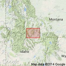
Mapped in northeast part of study area, Jefferson and Madison Cos, MT, Montana folded belt province. Consists of light-gray to dark-gray and grayish-red to greenish-gray mostly andesitic to latitic welded tuff and tuff breccia, tuff, lapilli tuff, lava flows, flow breccia, and poorly sorted volcanic sandstone and conglomerate. No thickness given. Coeval to other Cretaceous volcanic and plutonic rocks; older than Challis Volcanics; younger than Mesozoic and Paleozoic sedimentary rocks. Late Cretaceous age.
Source: GNU records (USGS DDS-6; Denver GNULEX).
For more information, please contact Nancy Stamm, Geologic Names Committee Secretary.
Asterisk (*) indicates published by U.S. Geological Survey authors.
"No current usage" (†) implies that a name has been abandoned or has fallen into disuse. Former usage and, if known, replacement name given in parentheses ( ).
Slash (/) indicates name conflicts with nomenclatural guidelines (CSN, 1933; ACSN, 1961, 1970; NACSN, 1983, 2005, 2021). May be explained within brackets ([ ]).

