The National Geologic Map Database is migrating to a new infrastructure. We apologize for any service disruptions during this process.
|
|---|


- Usage in publication:
-
- Elk Point group
- Modifications:
-
- Revised
- AAPG geologic province:
-
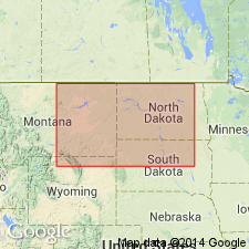
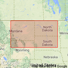
- Williston basin
Summary:
Raised in stratigraphic rank from Elk Point formation to Elk Point group. Divided into (ascending) Ashern, Elm Point, and Winnipegosis formations, and Prairie evaporite formation (new). Prairie shown as equivalent [and was formerly probably part of] upper part of the Winnipegosis of earlier reports. Isopach map; cross sections; correlation chart. Extends from SA and MB in CN south into eastern MT, ND, and for a short distance into northwest SD in the Williston basin. Is more than 700 ft thick; the thickest part is in southeast MB. Overlies Silurian rocks. Underlies the newly named Dawson Bay formation, basal formation of Manitoba group. Of Middle Devonian age.
Source: GNU records (USGS DDS-6; Denver GNULEX).
- Usage in publication:
-
- Elk Point group*
- Modifications:
-
- Areal extent
- AAPG geologic province:
-
- Williston basin
Summary:
Consists, in the subsurface of the northern part of the Williston basin, of the Winnipegosis (base) and Prairie (top) formations. Overlies Interlake group. Underlies Dawson Bay formation. Considered to be of Middle Devonian age.
Source: GNU records (USGS DDS-6; Denver GNULEX).
For more information, please contact Nancy Stamm, Geologic Names Committee Secretary.
Asterisk (*) indicates published by U.S. Geological Survey authors.
"No current usage" (†) implies that a name has been abandoned or has fallen into disuse. Former usage and, if known, replacement name given in parentheses ( ).
Slash (/) indicates name conflicts with nomenclatural guidelines (CSN, 1933; ACSN, 1961, 1970; NACSN, 1983, 2005, 2021). May be explained within brackets ([ ]).