The National Geologic Map Database is migrating to a new infrastructure. We apologize for any service disruptions during this process.
|
|---|


- Usage in publication:
-
- Elk Mountain porphyry*
- Modifications:
-
- Named
- Dominant lithology:
-
- Porphyry
- AAPG geologic province:
-
- Eagle basin
Summary:
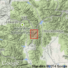
Named for Elk Mountain [location not shown on geologic map of district] which is in Summit and Eagle Cos, CO in the Eagle basin. No type locality designated. Also called Copper Mountain porphyry. Is a light gray porphyritic rock with quartz, white plagioclase, and biotite. Contains much potash feldspar. Occurs as a mass and as dikes. Almost all the intrusive bodies on Sheep, Elk, and Jacque Mountain ridges belong to Elk Mountain porphyry. Of comparatively recent age. Erupted prior to orographic movement that produced the Mosquito fault, or post-Cretaceous. [No other statement of age.]
Source: GNU records (USGS DDS-6; Denver GNULEX).
- Usage in publication:
-
- Elk Mountain porphyry*
- Modifications:
-
- Overview
- AAPG geologic province:
-
- Eagle basin
Summary:
Is a quartz monzonite porphyry in Eagle basin consisting of abundant phenocrysts of quartz, plagioclase, and biotite in a gray dense groundmass. Is older than Lincoln porphyry and younger than Pando porphyry. Assigned to early Tertiary.
Source: GNU records (USGS DDS-6; Denver GNULEX).
- Usage in publication:
-
- Elk Mountain Porphyry*
- Modifications:
-
- Age modified
- Overview
- AAPG geologic province:
-
- Eagle basin
Summary:
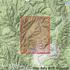
Occurs mainly as sills in northeast part of map area in Summit Co., CO, Eagle basin. Is same age as Sacramento porphyry or Late Cretaceous or Paleocene. Age changed from early Tertiary to Late Cretaceous or Paleocene.
Source: GNU records (USGS DDS-6; Denver GNULEX).
For more information, please contact Nancy Stamm, Geologic Names Committee Secretary.
Asterisk (*) indicates published by U.S. Geological Survey authors.
"No current usage" (†) implies that a name has been abandoned or has fallen into disuse. Former usage and, if known, replacement name given in parentheses ( ).
Slash (/) indicates name conflicts with nomenclatural guidelines (CSN, 1933; ACSN, 1961, 1970; NACSN, 1983, 2005, 2021). May be explained within brackets ([ ]).