- Usage in publication:
-
- Elk Mound Group
- Modifications:
-
- First used
- Dominant lithology:
-
- Sandstone
- Shale
- AAPG geologic province:
-
- Wisconsin arch
Summary:
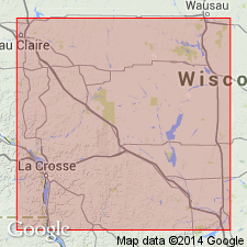
Elk Mound Group first used in this report. Subdivided into ascending Mt. Simon, Eau Claire, and Wonewoc (new) Formations. Underlies Tunnel City Group (new). Overlies Precambrian rocks. Age is Late Cambrian (Dresbachian-Franconian).
Source: GNU records (USGS DDS-6; Reston GNULEX).

- Usage in publication:
-
- Elk Mound Group
- Modifications:
-
- Named
- Dominant lithology:
-
- Sandstone
- Shale
- AAPG geologic province:
-
- Wisconsin arch
Summary:
Author proposes that names Dresbach and Franconia be reserved for use as stage names in biostratigraphy and that names Elk Mound and Tunnel City be used as lithostratigraphic replacements with minor modifications. Elk Mound Group is defined as the quartzose sandstones, shaly sandstones, and shales below the finer grained Franconian sandstones and above the basement and the Hinckley Sandstones. It incorporates those strata previously referred to the Dresbach Hinckley Sandstones and those strata previously referred to the Dresbach plus the overlying coarse-grained and poorly sorted Ironton Member of the Franconia (Ostrom, 1966). By this definition the Ironton forms the top of the Wonewoc Sandstone.
Source: GNU records (USGS DDS-6; Reston GNULEX).

- Usage in publication:
-
- Elk Mound Group
- Modifications:
-
- Overview
- AAPG geologic province:
-
- Wisconsin arch
Summary:
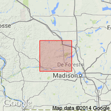
On plate 1 of this report, the Wonewoc and Eau Claire Formations have been differentiated from the Mount Simon Formation in the northeastern part of Sauk Co. The upper part of the Wonewoc Formation is shown at the surface in parts of the county where the lower units are absent. In much of the county, the Elk Mound Group is known only from logs of drillholes and in these the three formations cannot be differentiated. Next to the Baraboo Hills the Elk Mound Group is up to several tens of meters thick. In other parts of Sauk Co., the Elk Mound is probably 150 to 200 m thick. Consists primarily of medium sand, with considerable coarse and fine sand. Coarsest north of the Baraboo Hills. Pebbles of Precambrian rock commonly occur near the base of the unit. Sandstone described as very pale brown, white, pale yellow, or gray.
Source: GNU records (USGS DDS-6; Reston GNULEX).
For more information, please contact Nancy Stamm, Geologic Names Committee Secretary.
Asterisk (*) indicates published by U.S. Geological Survey authors.
"No current usage" (†) implies that a name has been abandoned or has fallen into disuse. Former usage and, if known, replacement name given in parentheses ( ).
Slash (/) indicates name conflicts with nomenclatural guidelines (CSN, 1933; ACSN, 1961, 1970; NACSN, 1983, 2005, 2021). May be explained within brackets ([ ]).

