The National Geologic Map Database is migrating to a new infrastructure. We apologize for any service disruptions during this process.
|
|---|


- Usage in publication:
-
- Elk Hills Shale Member*
- Modifications:
-
- First used
- AAPG geologic province:
-
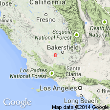
- San Joaquin basin
Summary:
First use of the Elk Hills Shale Member [Elk Hills Member in Fig. 5] of the Monterey Shale. Age is Miocene.
Source: GNU records (USGS DDS-6; Menlo GNULEX).
- Usage in publication:
-
- Elk Hills Shale Member*
- Modifications:
-
- Named
- Dominant lithology:
-
- Shale
- AAPG geologic province:
-
- San Joaquin basin
Summary:
Unit is named the Elk Hills Shale Member of the Monterey Shale. Consists of gray siliceous shale, diatomaceous(?) siltstone, and petroliferous sandstone. Thickness ranges from 915 to 945 m. Overlies the McDonald Shale Member of local usage of the Monterey Shale; underlies the Reef Ridge Shale. Age is Miocene. (B1520)
Source: GNU records (USGS DDS-6; Menlo GNULEX).
For more information, please contact Nancy Stamm, Geologic Names Committee Secretary.
Asterisk (*) indicates published by U.S. Geological Survey authors.
"No current usage" (†) implies that a name has been abandoned or has fallen into disuse. Former usage and, if known, replacement name given in parentheses ( ).
Slash (/) indicates name conflicts with nomenclatural guidelines (CSN, 1933; ACSN, 1961, 1970; NACSN, 1983, 2005, 2021). May be explained within brackets ([ ]).