- Usage in publication:
-
- Elizaville shales
- Modifications:
-
- Original reference
- Dominant lithology:
-
- Shale
- Siltstone
- AAPG geologic province:
-
- Appalachian basin
Summary:
Pg. 739-743, pl. 1. Elizaville shales. Mainly light-gray but ranges from light greenish-gray to dark-gray approaching black. Coarse shaly or fine silty texture with all variations from fine phyllitic shale to coarse siltstone. Upper part contains horizon with many bands of brown quartzite ranging from 3 inches to 12 inches in thickness, at intervals of 2 or 3 feet. Also contains banding consisting of thin layers of ferruginous and dolomitic material an inch or so apart, and characterized by fine irregular crumpling, with crenulations of amplitude about one-half inch; this crumpling is somewhat similar to that in Pine Plains dolomites. Thickness about 90 feet. Age is Late Cambrian and Early Ordovician(?).
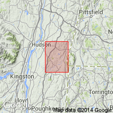
Named from village of Elizaville, southeast corner of Catskill quadrangle, southeastern NY. Described in Copake quadrangle.
Source: US geologic names lexicon (USGS Bull. 1200, p. 1230).
For more information, please contact Nancy Stamm, Geologic Names Committee Secretary.
Asterisk (*) indicates published by U.S. Geological Survey authors.
"No current usage" (†) implies that a name has been abandoned or has fallen into disuse. Former usage and, if known, replacement name given in parentheses ( ).
Slash (/) indicates name conflicts with nomenclatural guidelines (CSN, 1933; ACSN, 1961, 1970; NACSN, 1983, 2005, 2021). May be explained within brackets ([ ]).

