- Usage in publication:
-
- Eliot Formation*
- Modifications:
-
- Age modified
- Areal extent
- AAPG geologic province:
-
- New England province
Summary:
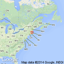
Formations of Merrimack Group recognized as valid units in northeastern MA. Kittery Quartzite is revised to Kittery Formation following usage of Novotny (1963) and Hussey (1968). Age of Kittery is Silurian or Ordovician because it is intruded by granodiorite of Newburyport Complex (name revised) dated as Silurian and Ordovician (R.E. Zartman and R.S. Naylor, written commun., 1981). Eliot and Berwick Formations remain as probable Silurian age on basis of tentative correlation with similar rocks in central ME (Osberg, 1968). Stratigraphic order within Merrimack Group is uncertain, but it appears that Kittery is basal unit. [GNC records indicate that the names Merrimack Formation or Merrimack Quartzite are no longer valid anywhere.]
Source: GNU records (USGS DDS-6; Reston GNULEX).

- Usage in publication:
-
- Eliot Formation*
- Modifications:
-
- Overview
- AAPG geologic province:
-
- New England province
Summary:
Used as Eliot Formation of Silurian. Consists of phyllite and calcareous phyllite.
Source: GNU records (USGS DDS-6; Reston GNULEX).

- Usage in publication:
-
- Eliot Formation
- Modifications:
-
- Areal extent
- AAPG geologic province:
-
- New England province
Summary:
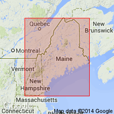
Low-grade calcareous metasiltstones and metapelite originally mapped as part of the Cape Elizabeth Formation in the southern part of the outcrop belt of the Casco Bay Group are now considered to be an extension of the Eliot Formation. Similar, but thicker and more variably bedded low grade metasiltstone and metapelite east of the Broad Cove fault in Cape Elizabeth (including the exposures at Two Lights State Park) are reinterpreted as onstrike equivalents of the Kittery Formation of the Merrimack Group. Rocks of both of these belts are too calcareous to produce the typical garnet and higher metamorphic grade rocks of the Cape Elizabeth lithology.
Source: GNU records (USGS DDS-6; Reston GNULEX).

- Usage in publication:
-
- Eliot Formation*
- Modifications:
-
- Overview
- Age modified
- AAPG geologic province:
-
- New England province
Summary:
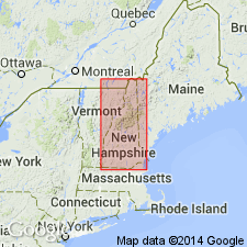
Used as Eliot Formation of Merrimack Group. Consists of gray to green phyllite, calcareous quartzite, quartz-mica schist, and well-bedded calc-silicate. Includes Calef Member, separately mapped. Age of all formations in Merrimack Group changed to Ordovician(?) to Silurian(?) based on isotopic age determinations of approx 440 and 420 Ma from detrital zircons from Berwick Formation (of Merrimack Group) by J.N. Aleinikoff (oral commun., 1994). Report includes geologic map, cross sections, correlation chart, and four 1:500,000-scale derivative maps.
Source: GNU records (USGS DDS-6; Reston GNULEX).
For more information, please contact Nancy Stamm, Geologic Names Committee Secretary.
Asterisk (*) indicates published by U.S. Geological Survey authors.
"No current usage" (†) implies that a name has been abandoned or has fallen into disuse. Former usage and, if known, replacement name given in parentheses ( ).
Slash (/) indicates name conflicts with nomenclatural guidelines (CSN, 1933; ACSN, 1961, 1970; NACSN, 1983, 2005, 2021). May be explained within brackets ([ ]).

