The National Geologic Map Database is migrating to a new infrastructure. We apologize for any service disruptions during this process.
|
|---|


- Usage in publication:
-
- Elder Creek group
- Modifications:
-
- Areal extent
- AAPG geologic province:
-
- Sacramento basin
Summary:
Pg. 184 (fig. 68) [preprint 1941]. Elder Creek group. Shown as lowermost group of Knoxville series. Underlies Grindstone group (new). Age is Late Jurassic (Knoxville).
Source: US geologic names lexicon (USGS Bull. 1200, p. 1224-1225).
- Usage in publication:
-
- Elder Creek group
- Modifications:
-
- Original reference
- Dominant lithology:
-
- Shale
- Sandstone
- AAPG geologic province:
-
- Sacramento basin
Summary:
Pg. 924, 925-926. Elder Creek group. Basal beds, as exposed near Redbank Creek, consist of dark-reddish-brown greatly indurated shale or thin-bedded cherty strata standing at a high angle and in part slightly overturned. In Bennett Creek area, a thick succession of alternating thin-bedded shales and calcareous sandstone layers constitute major part of group. Maximum thickness 6,600 feet. To the north, group is overlapped by early Shasta (Paskenta) beds; farther south, it is overlapped by conglomerates of Grindstone group. Lowest exposed beds rest upon or against pre-Knoxville meta-andesite of Klamath complex. Age is Late Jurassic (Knoxville).
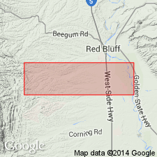
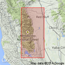
Traceable northwest from Redbank Creek for a short distance and toward the south for more than 40 mi to latitude of Elder Creek village, Tehama Co., northern CA.
Source: US geologic names lexicon (USGS Bull. 1200, p. 1224-1225).
For more information, please contact Nancy Stamm, Geologic Names Committee Secretary.
Asterisk (*) indicates published by U.S. Geological Survey authors.
"No current usage" (†) implies that a name has been abandoned or has fallen into disuse. Former usage and, if known, replacement name given in parentheses ( ).
Slash (/) indicates name conflicts with nomenclatural guidelines (CSN, 1933; ACSN, 1961, 1970; NACSN, 1983, 2005, 2021). May be explained within brackets ([ ]).