

- Usage in publication:
-
- Elberon Formation
- Modifications:
-
- Named
- Dominant lithology:
-
- Sand
- Clay
- AAPG geologic province:
-
- Atlantic Coast basin
Summary:
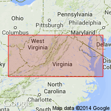
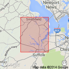
Name Elberon Formation proposed for a silty sand, fine sand, and silty clay that overlies Bacons Castle Formation (new) beneath the Sussex and Isle of Wight Plains, and that is overlain by beach facies of Norfolk Formation at Suffolk Scarp. Maximum thickness 30 ft. Age is Pleistocene (Yarmouth?).
Source: GNU records (USGS DDS-6; Reston GNULEX).
- Usage in publication:
-
- Elberon†
- Modifications:
-
- Abandoned
- AAPG geologic province:
-
- Atlantic Coast basin
Summary:
Elberon Formation abandoned. Replaced by Windsor Formation.
Source: GNU records (USGS DDS-6; Reston GNULEX).
For more information, please contact Nancy Stamm, Geologic Names Committee Secretary.
Asterisk (*) indicates published by U.S. Geological Survey authors.
"No current usage" (†) implies that a name has been abandoned or has fallen into disuse. Former usage and, if known, replacement name given in parentheses ( ).
Slash (/) indicates name conflicts with nomenclatural guidelines (CSN, 1933; ACSN, 1961, 1970; NACSN, 1983, 2005, 2021). May be explained within brackets ([ ]).