

- Usage in publication:
-
- Elba Quartzite
- Modifications:
-
- Named
- Dominant lithology:
-
- Quartzite
- AAPG geologic province:
-
- Great Basin province
Summary:
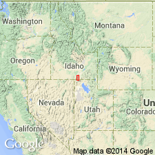
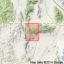
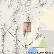
Named as basal formation of 8 formations of Dove Creek Group (new) for exposures in hills north and west of town of Elba, Albion Range, Cassia Co, ID in the Great Basin province. Complete sections are exposed at N1/2 sec 8, T13S, R25E; ctr sec 24, T13S, R24E, and S1/2 sec 1, T14S, R24E. No type locality designated. Geologic map; mapped in the southern, central, and northeast part of the Albion Range where it unconformably overlies the Precambrian Green Creek Complex (new) and unconformably underlies the Cambrian and Ordovician Conner Creek Formation (new) of the Dove Creek Group. Is a very widespread formation. Has a 100 ft thick pure, medium-bedded, white quartzite with sporadic white-quartz-pebble lenses at base and an overlying grayer, rusty-weathering, medium-bedded quartzite on Mount Harrison in the Albion Range. This division is not evident farther south. Is commonly 500 to 1,000 ft thick. Is less than 10 ft thick on a small dome northwest of Cache Peak. Some of the variation in thickness may be due to deformation. Cross bedding is well preserved. Assigned a Cambrian? age.
Source: GNU records (USGS DDS-6; Denver GNULEX).
- Usage in publication:
-
- Elba Quartzite*
- Modifications:
-
- Overview
- Age modified
- AAPG geologic province:
-
- Northern Rocky Mountain region
Summary:
Type section stated to be in S1/2 sec 1, T14S, R24E, Cassia Co, ID in the Northern Rocky Mountain region. Makes up white slopes and cliffs in the Raft River Mountains and in parts of Dove Creek Mountains. Ranges from 50 ft thick near center of quad to 1,500 ft thick in northwest part of quad. Most of the formation is in beds 1 to 8 ft thick; many beds are cross-bedded, and some contain well-sorted pebble conglomerate. Much of the formation is semischistose. Some residual to leached dolomite grains have been flattened and lineated tectonically. Muscovite-quartz schist forms thin layers between some of the beds. Grades upwards into overlying schist of the Upper Narrows. Age changed from Cambrian? to Precambrian? because lithology described above not known in other Cambrian rocks in this region.
Source: GNU records (USGS DDS-6; Denver GNULEX).
- Usage in publication:
-
- Elba Quartzite*
- Modifications:
-
- Age modified
- AAPG geologic province:
-
- Great Basin province
Summary:
Age of the Elba Quartzite is Precambrian(?).
Source: GNU records (USGS DDS-6; Menlo GNULEX).
For more information, please contact Nancy Stamm, Geologic Names Committee Secretary.
Asterisk (*) indicates published by U.S. Geological Survey authors.
"No current usage" (†) implies that a name has been abandoned or has fallen into disuse. Former usage and, if known, replacement name given in parentheses ( ).
Slash (/) indicates name conflicts with nomenclatural guidelines (CSN, 1933; ACSN, 1961, 1970; NACSN, 1983, 2005, 2021). May be explained within brackets ([ ]).