- Usage in publication:
-
- El Pico Clay*
- Modifications:
-
- Original reference
- Dominant lithology:
-
- Clay
- Shale
- Sandstone
- Coal
- AAPG geologic province:
-
- Gulf Coast basin
Summary:
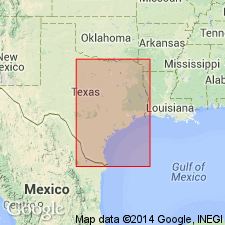
Pg. D11-D19; see also Lonsdale and Day, 1937, USGS Water-Supply Paper 778, fig. 3, p. 35-37. El Pico Clay of Claiborne Group. Previously upper unnamed member of Mount Selman Formation (abandoned) in the Rio Grande embayment, south of Frio River, southern Texas. Consists chiefly of gray clay and shale with interbedded sandstone beds, and in lower part, cannel coal beds (Santo Tomas coal occurs about 30 feet above base). Thickness up to 1,100+ feet. Overlies Bigford Formation and underlies Laredo Formation, both of Claiborne. Equivalent to (descending) Weches and Queen City Formations of Claiborne north of Frio River. Interpreted to be fresh- and brackish-water deposits. Fossils. Age is middle Eocene.
Type section (composite): exposed in many places along breaks of the Rio Grande for at least 25 mi upstream from mouth of Sombrerito Creek, Webb Co., southern TX.
Named from El Pico, a conspicuous mesa-butte in Webb Co., about 8.5 airline mi northwest of downtown Laredo, in approx. center of shoe-shaped bend of the Rio Grande (thus, name of ranch on which it is located, La Bota, the boot), about 1 mi northwest of mouth of Sombrerito Creek [Lat. 27 deg. 37 min. 23 sec. N., Long. 99 deg. 33 min. 59 sec. W., Laredo West 7.5-min quadrangle], Webb Co., southern TX. [Additional locality information from USGS GNIS database, accessed June 20, 2012.]
Source: Publication; Changes in stratigraphic nomenclature, 1968 (USGS Bull. 1294-A, p. A7); US geologic names lexicon (USGS Bull. 1520, p. 95).

- Usage in publication:
-
- El Pico Clay
- Modifications:
-
- Mapped 1:250k
- Dominant lithology:
-
- Clay
- Sandstone
- Coal
- AAPG geologic province:
-
- Gulf Coast basin
Summary:
El Pico Clay. Clay, sandstone, and coal; mostly clay, in part gypsiferous, medium-gray to brown; sandstone, mostly fine-grained, argillaceous, silty, gray to brown, thin-bedded to massive, friable to indurated. Thickness 700 to 900 feet. Correlative with Queen City Sand and Weches Formation mapped northeast of Frio River. Lies above Bigford Formation and below Laredo Formation. Age is Eocene.
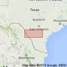
[Mapped southwest of Frio River in Frio, Zavala, Dimmit, and Webb Cos., southwestern TX.]
Source: Publication.

- Usage in publication:
-
- El Pico Clay
- Modifications:
-
- Mapped 1:250k
- Dominant lithology:
-
- Clay
- Sandstone
- Coal
- AAPG geologic province:
-
- Gulf Coast basin
Summary:
Pamphlet [p. 3]. El Pico Clay. Clay, sandstone, and coal; mostly clay, in part gypsiferous, medium-gray to brown; sandstone, mostly fine-grained, argillaceous, silty, gray to brown, thin-bedded to massive, friable to indurated; only lower 100 feet exposed. In part, correlative with (ascending) Queen City Sand and Weches Formation, both mapped east of Frio River. Overlies Bigford Formation. Age is Eocene.
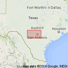
[Mapped west of Frio River, in Frio and Zavala Cos., southern TX.]
Source: Publication.
For more information, please contact Nancy Stamm, Geologic Names Committee Secretary.
Asterisk (*) indicates published by U.S. Geological Survey authors.
"No current usage" (†) implies that a name has been abandoned or has fallen into disuse. Former usage and, if known, replacement name given in parentheses ( ).
Slash (/) indicates name conflicts with nomenclatural guidelines (CSN, 1933; ACSN, 1961, 1970; NACSN, 1983, 2005, 2021). May be explained within brackets ([ ]).

