

- Usage in publication:
-
- Eight Mile dacite
- Modifications:
-
- Named
- Dominant lithology:
-
- Dacite
- AAPG geologic province:
-
- Great Basin province
Summary:
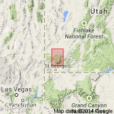
Mapped only in valley south of Eight Mile Spring, for which unit was probably named, northeast of Central, Washington Co, UT, Great Basin province. No type locality designated. Consists of two units: a lower, massive hard, cliff-forming, pale brown dacite 50-100 ft thick mainly of glass tabulae; and a denser, heavier, porphyritic lithoidal dacite at least 200 ft thick. Lower unit has flow structure similar to Pine Valley latite (new) in that it displays closely spaced parting planes that are folded and look like sedimentary cross-bedding. Phenocrysts of plagioclase, hornblende, and magnetite make up 10-15 percent of rock. Shown on stratigraphic chart to unconformably overlie Pine Valley; underlie (contact relationship unknown) Parunuweap? formation; and to correlate with Culbert breccia (new). Shown on geologic map explanation to overlie Parunuweap[?] and to underlie Culbert. Assigned possible Pleistocene age.
Source: GNU records (USGS DDS-6; Denver GNULEX).
For more information, please contact Nancy Stamm, Geologic Names Committee Secretary.
Asterisk (*) indicates published by U.S. Geological Survey authors.
"No current usage" (†) implies that a name has been abandoned or has fallen into disuse. Former usage and, if known, replacement name given in parentheses ( ).
Slash (/) indicates name conflicts with nomenclatural guidelines (CSN, 1933; ACSN, 1961, 1970; NACSN, 1983, 2005, 2021). May be explained within brackets ([ ]).