

- Usage in publication:
-
- Edson beds
- Modifications:
-
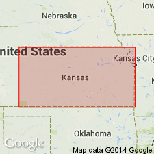
- Areal extent
- Dominant lithology:
-
- Sand
- Silt
- AAPG geologic province:
-
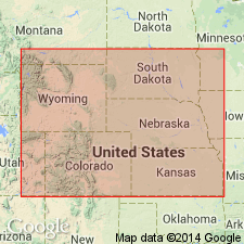
- Las Animas arch
Summary:
Pg. 161-162. Edson beds in Ogallala formation. [See also entry under Rhinoceros Hill beds and see H.T. Martin, IN Adams and Martin, 1929, Amer. Jour. Sci., 5th ser., v. 17, no. 102, p. 504-505, who is credited with this name.]
In vicinity of "Rhinoceros Hill" section, in Sherman County, western Kansas, another "sand quarry" in the "fine silty deposit" of the Tertiary was opened by Martin, the fauna of which, though closely related to "Rhinoceros Hill" vertebrates, includes some varieties that are considered by him to indicate a slightly greater age than latter, though still in lower Pliocene. It appears to writer that these unconsolidated "fine silty" beds of Sherman County, which are called by Martin "Edson beds" (from a small town in Sherman County), must belong somewhere low in "Rhinoceros Hill" section, probably about 50 to 80 feet below the bed from which fauna of "Rhinoceros Hill" was collected. Pierre shale must not be far below "Edson beds" of Sherman County and at a somewhat lower elevation, than the fossiliferous sand of Rhinoceros Hill. Age is considered early Pliocene.
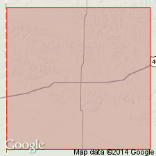
Beds form an isolated outcrop near Edson, Sherman Co., western KS. Sand quarry on a branch of Smoky Hill River, where the erosion had made a deep cut in the surrounding prairie, 3 mi north and slightly west of "Rhinoceros Hill," in SW/4 sec. 26, T. 10 S., R. 38 W., [Harris Draw NE 7.5-min quadrangle].
Source: Publication; US geologic names lexicon (USGS Bull. 896, p. 663, Rhinoceros Hill entry p. 1805).
- Usage in publication:
-
- Edson beds
- Modifications:
-
- Areal extent
- AAPG geologic province:
-
- Las Animas arch
Summary:
Edson beds. Included in Ash Hollow formation (Ogallala group). Consist of unconsolidated sands topographically a few tens of feet below Rhinoceros Hill beds. Contain vertebrate fauna. Age is considered early Pliocene.
Source: US geologic names lexicon (USGS Bull. 1200, p. 1216).
- Usage in publication:
-
- Edson local fauna
- Modifications:
-
- Overview
- AAPG geologic province:
-
- Las Animas arch
Summary:
Pg. 29-30. Edson local fauna in Ash Hollow member of Ogallala formation. In upper part of Ash Hollow member of Ogallala formation, a few feet below contact with overlying Kimball member. Age is Hemphillian.
Section stated to be in sec. 25, T. 10 S., R. 38 W., Sherman Co., KS.
Source: Publication.
For more information, please contact Nancy Stamm, Geologic Names Committee Secretary.
Asterisk (*) indicates published by U.S. Geological Survey authors.
"No current usage" (†) implies that a name has been abandoned or has fallen into disuse. Former usage and, if known, replacement name given in parentheses ( ).
Slash (/) indicates name conflicts with nomenclatural guidelines (CSN, 1933; ACSN, 1961, 1970; NACSN, 1983, 2005, 2021). May be explained within brackets ([ ]).