- Usage in publication:
-
- Edisto phase, marls, phosphates
- Modifications:
-
- Named
- Dominant lithology:
-
- Marl
- AAPG geologic province:
-
- Atlantic Coast basin
Summary:
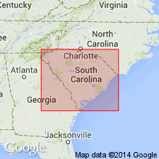
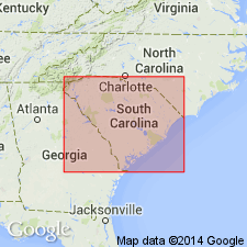
Edisto phase described as compact yellow-white beds of marl very high in calcium carbonate content, which rarely exceed 3 ft in thickness. Occurs from Dorchester Strait, southeast over Dorchester Ridge, above the upper Ecphora marls. This is phase of Miocene which has been phosphatized where favorably situated for accumulation of Salkehatchie oozes. This Edisto phase appears circumscribed in western Tertiary by a line extending from mouth of Wando River by Charleston, Church Flats, Port Royal, Parachucla, Givhams Ferry, Bacon's Bridge and then back to head of Wando River. In eastern division of Tertiary, the sea waves along Myrtle Beach, cast upon the shores, fragments of the equivalent marl, from bed of present ocean. Overlies Marks Head marl and is older than Goose Creek marl.
Source: GNU records (USGS DDS-6; Reston GNULEX).

- Usage in publication:
-
- Edisto Formation*
- Modifications:
-
- Age modified
- AAPG geologic province:
-
- Atlantic Coast basin
Summary:
The Edisto Formation, as stratigraphically restricted by Ward and others (1979), was considered to be lower Miocene. Recent foraminiferal evidence (Poore, oral Commun. 1986) indicates that the Oligocene-Miocene boundary may occur within the Edisto.
Source: GNU records (USGS DDS-6; Reston GNULEX).
For more information, please contact Nancy Stamm, Geologic Names Committee Secretary.
Asterisk (*) indicates published by U.S. Geological Survey authors.
"No current usage" (†) implies that a name has been abandoned or has fallen into disuse. Former usage and, if known, replacement name given in parentheses ( ).
Slash (/) indicates name conflicts with nomenclatural guidelines (CSN, 1933; ACSN, 1961, 1970; NACSN, 1983, 2005, 2021). May be explained within brackets ([ ]).

