The National Geologic Map Database is migrating to a new infrastructure. We apologize for any service disruptions during this process.
|
|---|


- Usage in publication:
-
- Eddy Hill grit
- Modifications:
-
- Original reference
- Dominant lithology:
-
- Grit
- Sandstone
- AAPG geologic province:
-
- New England province
Summary:
Pg. 69-70. Eddy Hill grit. [Replaces †Black Patch grit of T.N. Dale (1893).] Consists of 10 to 40 feet of dark gray grit or sandstone with black shaly patches, sometimes with calcareous nodules. Underlies the Schodack shales and limestones and overlies the Mettawee slate; all Lower Cambrian.
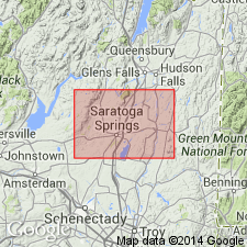
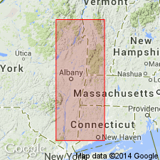
Named for exposures at Eddy Hill, near Fair Haven, Rutland Co., VT. [Eddy Hill is probably in Whitehall quadrangle, but name does not appear on that map. It may be unnamed hill just southeast of Fair Haven.] Recognized in Washington Co., eastern NY, and Rutland Co., southwestern VT.
Source: US geologic names lexicon (USGS Bull. 896, p. 659, Black patch entry p. 204).
- Usage in publication:
-
- Eddy Hill Grit[†]
- Modifications:
-
- [Abandoned]
- AAPG geologic province:
-
- New England province
Summary:
Pg. 34-35. [†Eddy Hill Grit abandoned.] The bulk of the Eddy Hill, including the type outcrop, is relegated to Mudd Pond Quartzite Member of Bull Formation (Zen, 1961, p. 303); some outcrops called Eddy Hill by Fowler are now mapped as part of the West Castleton Formation (Zen, 1961, p. 305).
Source: Publication.
For more information, please contact Nancy Stamm, Geologic Names Committee Secretary.
Asterisk (*) indicates published by U.S. Geological Survey authors.
"No current usage" (†) implies that a name has been abandoned or has fallen into disuse. Former usage and, if known, replacement name given in parentheses ( ).
Slash (/) indicates name conflicts with nomenclatural guidelines (CSN, 1933; ACSN, 1961, 1970; NACSN, 1983, 2005, 2021). May be explained within brackets ([ ]).