

- Usage in publication:
-
- East Tioga clay [bed]
- Modifications:
-
- Original reference
- Dominant lithology:
-
- Clay
- AAPG geologic province:
-
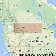
- Williston basin
Summary:
Pg. 8, 22, map. East Tioga clay in Golden Valley formation. A 10-foot bed of clean, buff-colored clay. White Earth, South Ross, and Lakeside clays occur in same general area. Age is Eocene.
Type locality: on Great Northern mainline in center of sec. 33, T. 157 N., R. 94 W., Mountrail Co., western ND.
Source: US geologic names lexicon (USGS Bull. 1200, p. 1207-1208).
For more information, please contact Nancy Stamm, Geologic Names Committee Secretary.
Asterisk (*) indicates published by U.S. Geological Survey authors.
"No current usage" (†) implies that a name has been abandoned or has fallen into disuse. Former usage and, if known, replacement name given in parentheses ( ).
Slash (/) indicates name conflicts with nomenclatural guidelines (CSN, 1933; ACSN, 1961, 1970; NACSN, 1983, 2005, 2021). May be explained within brackets ([ ]).