The National Geologic Map Database is migrating to a new infrastructure. We apologize for any service disruptions during this process.
|
|---|


- Usage in publication:
-
- East Point formation*
- Modifications:
-
- Named
- Dominant lithology:
-
- Andesite
- Basalt
- AAPG geologic province:
-
- Aleutian Islands province
- Alaska Southwestern region
Summary:
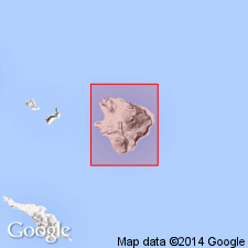
Named for exposures at sea level, on either side of East Point, Little Sitkin Island, Rat Islands group, Aleutian Islands, AK. Is uninterrupted sequence of andesitic lava flows, over 500 ft thick. Lavas are light- to dark-gray andesite and basalt locally containing plagioclase, pyroxene and olivine phenocrysts. Mutual stratigraphic relations of East Point and Sitkin Point (new) formations are in doubt. Overlying Double Point dacite (new) is unconformable on Sitkin Point formation but apparently conformable on East Point formation. These relations suggest East Point is younger. Geologic map of Sitkin Island shows unit is Quaternary age.
Source: GNU records (USGS DDS-6; Menlo GNULEX).
For more information, please contact Nancy Stamm, Geologic Names Committee Secretary.
Asterisk (*) indicates published by U.S. Geological Survey authors.
"No current usage" (†) implies that a name has been abandoned or has fallen into disuse. Former usage and, if known, replacement name given in parentheses ( ).
Slash (/) indicates name conflicts with nomenclatural guidelines (CSN, 1933; ACSN, 1961, 1970; NACSN, 1983, 2005, 2021). May be explained within brackets ([ ]).