- Usage in publication:
-
- Eagle Pass division
- Modifications:
-
- Revised
- AAPG geologic province:
-
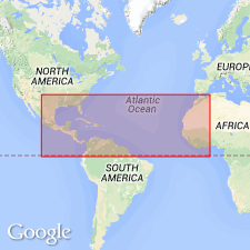
- Gulf Coast basin
Summary:
[Formerly "Eagle Pass beds" of White (1891).] Is revised to include the entire series of clays, sands and greensands, with more or less impure limestone and beds of coal lying above the Pinto limestone (upper Cretaceous) and below the Webb Bluff beds (Tertiary). Comprises four more or less distinct new members (ascending): Upson clays (700 ft), San Miguel beds (800 ft), Coal series (900 ft), Escondido beds (3,300 ft). Is noted that (due to possible faulting) future work may reduce the estimated thicknesses, particularly for the Escondido. Is exposed for nearly 60 mi along line of section in this report. Line of section described as traversed along 125 river miles on the Rio Grande between San Felipe creek (near Del Rio, Val Verde Co, TX) and Webb bluff (three mi below southern line of Maverick Co, TX) in Gulf Coast basin. Age is Late Cretaceous.
Source: GNU records (USGS DDS-6; Denver GNULEX).
For more information, please contact Nancy Stamm, Geologic Names Committee Secretary.
Asterisk (*) indicates published by U.S. Geological Survey authors.
"No current usage" (†) implies that a name has been abandoned or has fallen into disuse. Former usage and, if known, replacement name given in parentheses ( ).
Slash (/) indicates name conflicts with nomenclatural guidelines (CSN, 1933; ACSN, 1961, 1970; NACSN, 1983, 2005, 2021). May be explained within brackets ([ ]).

