The National Geologic Map Database is migrating to a new infrastructure. We apologize for any service disruptions during this process.
|
|---|


- Usage in publication:
-
- Dyson Hollow member
- Dyson Hollow zone
- Modifications:
-
- Original reference
- AAPG geologic province:
-
- Salina basin
Summary:
Pg. 32. Dyson Hollow member or Dyson Hollow zone within Stoner limestone. Thickness 1.5 to 2 feet. Underlies Kiewitz shale zone; overlies Eudora shale. Age is Late Pennsylvanian (Missourian).
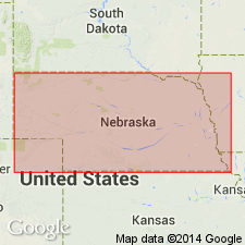
Type locality: below upper water fall in Dyson Hollow, located about 1-3/8 mi west of La Platte, Sarpy Co., eastern NE.
Source: US geologic names lexicon (USGS Bull. 1200, p. 1191).
For more information, please contact Nancy Stamm, Geologic Names Committee Secretary.
Asterisk (*) indicates published by U.S. Geological Survey authors.
"No current usage" (†) implies that a name has been abandoned or has fallen into disuse. Former usage and, if known, replacement name given in parentheses ( ).
Slash (/) indicates name conflicts with nomenclatural guidelines (CSN, 1933; ACSN, 1961, 1970; NACSN, 1983, 2005, 2021). May be explained within brackets ([ ]).